
HAMPSHIRE-based mapping giant Ordnance Survey (OS) has been chosen by the government to develop a ‘digital twin’ of the real world, which will be used to determine the prime locations for radio antennae needed for the next generation of wireless communications.
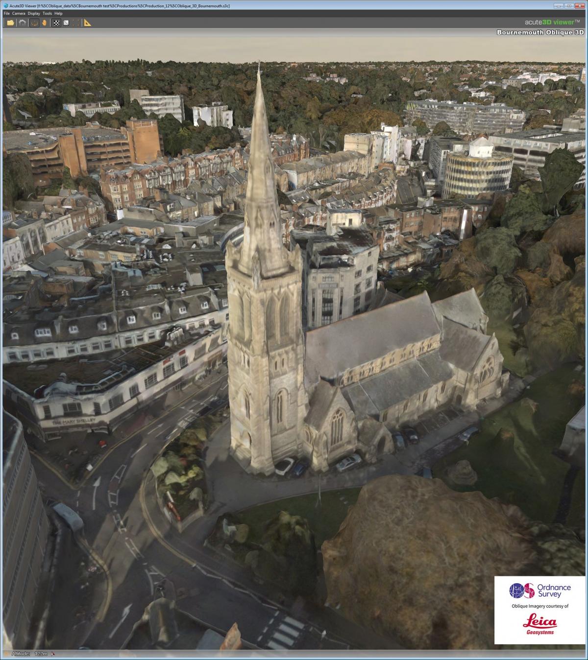
The 5G network OS will lead a consortium that includes the 5G Innovation Centre and the Met Office, and the planning and mapping tool will be trialled first in Bournemouth.
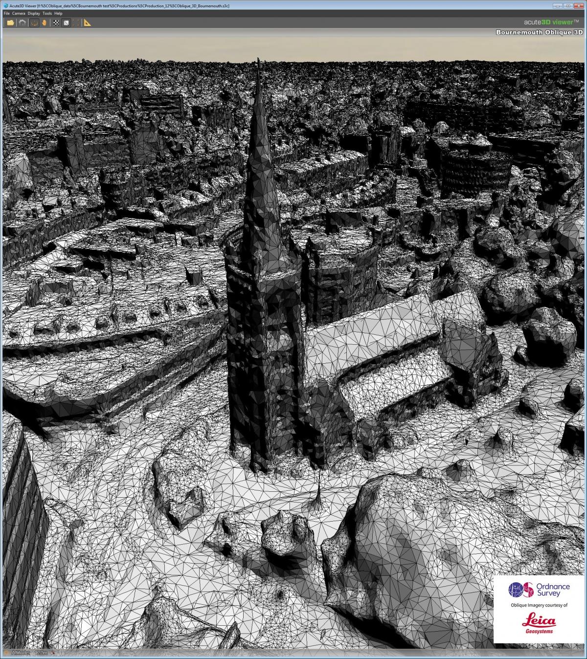
Surveying parts of Bournemouth is already underway and will be used to generate the new model.
The higher frequencies offered by 5G deliver significant increases in bandwidth. Higher frequencies have a shorter range, and so a huge amount of equipment is needed to support the network.
Industry sources have suggested thousands of sites will be needed to assure widespread national 5G coverage.
Different construction materials can markedly reduce the capability for radio signals to travel, and at very high frequencies even raindrops and the leaves of a tree can interfere with the radio signals.
To make 5G a success, access points and network equipment must be deployed where the impact of the built and natural environment has minimal effect.
Discovering where to best place the equipment required for a national 5G network would be a very time consuming and costly exercise of trial and error, but with the data visualisation tool OS will create, most of the work could be done from a desk.
Network planners can open the accurate digital environment and simply place an access point, allowing them to immediately see what could block the signals.
This enables the planners to construct a virtual network in minutes.
Included in the model’s intelligence are weather conditions, tree foliage and the life-cycles of vegetation, and details of future building projects.
OS Commercial Director, Andrew Loveless, says: “The purpose is to deploy 5G quickly and efficiently.
"Linking OS data to spectrum information and meteorological data will deliver faster speeds and better coverage to connected devices, all the while helping keep rollout costs to a minimum.
"In creating a highly accurate digital model of the real world, with added in attributes and intelligence, OS is taking mapping and data visualisation to unprecedented new levels with what can be achieved, complementing the government’s Digital Britain strategy."


Comments: Our rules
We want our comments to be a lively and valuable part of our community - a place where readers can debate and engage with the most important local issues. The ability to comment on our stories is a privilege, not a right, however, and that privilege may be withdrawn if it is abused or misused.
Please report any comments that break our rules.
Read the rules here