
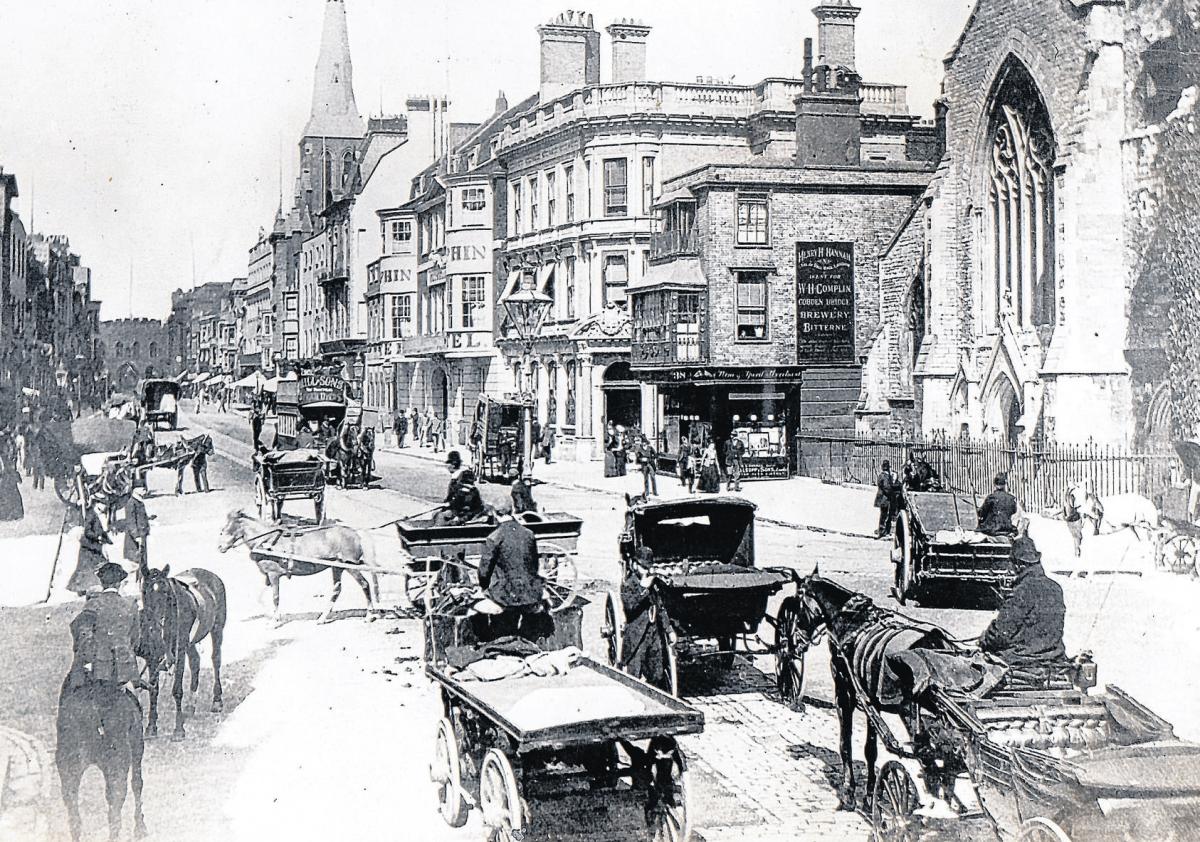
IT was time for change, mostly for the better, as Southampton people embraced a “general advancement” in the town.
In the early 1840s a local guide book was published which opens a fascinating window on what it was like to live in Southampton 170 years ago.
“The spirit of modern improvement had already made its mark,” said the book, now in the Hampshire Heritage archives.
“Enterprise was in the air, and the chief inhabitants showed a ready zeal to take advantage of all their opportunities.”
The church of St Peter together with the Portland Chapel and the Wesleyan Chapel in East Street had just been built.
However, the most influential development was the arrival of the railway in Southampton opening up a direct link with not only other Hampshire towns but also to London.
The docks were being created, the Floating Bridge had started in 1837, the cemetery was laid out on the Common and a parliamentary act had been passed allowing the creation of the parks in Southampton which had “done so much to beautify and expand the town and give heath and pleasure to its inhabitants.”
At the time Southampton is said to have comprised of “between 30 or 40 streets and lanes” while St Mary churchyard is described as being “by far the largest burying ground in the town”.
God’s House Tower was mentioned as being at the bottom of the High Street and situated “near the beach”.
“Bathing machines are to be found at West Quay and at Itchen Ferry,” said the guide.
“Horse racing is annually held upon the Common for two days in the summer.”
In a map of the period, dated 1844, a toll gate is marked as existing at the top of St. Mary`s Street and what is now known as St Mary Road is marked as “Love Lane”.
“Almost the whole of the ground on either side of Love Lane is described as ‘market gardens’ and practically the whole of Northam as ‘marshes’,” the guide told its readers.
“Between 1816 and 1840 the Royal Military Asylum for Girls was in London Road providing schooling for up to 400 orphans and children of serving soldiers of both sexes until 1823, when the boys were transferred to London, with Southampton taking more females.
A decline in numbers resulted in its closure in 1840, and the following year the buildings were taken over by the Ordnance Survey.
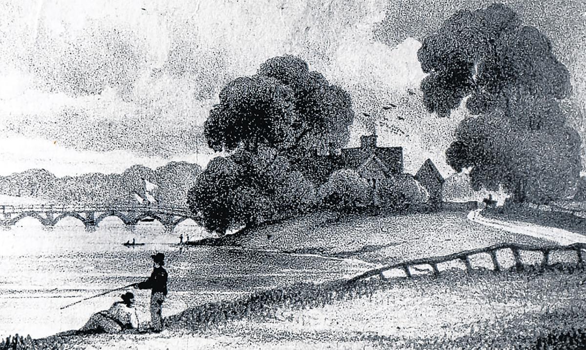
Visitors to Southampton were also recommended to undertake “the most pleasant walk through Northam fields, which conducts to a path along the banks of the Itchen”.
The book goes on to say that near Northam Bridge the visitor “will find himself in the yard from which many ships of war have been launched”.
At about this time Southampton’s population was estimated at 29,000 with 14,885 inhabitants living in the parish of St Mary’s. The parish was also home to Southampton’s old South Hants infirmary, for which the guide was full of praise. “This fine institution situated in St Mary’s Street, supported by voluntary contributions, is doing an essential service to this increasing town.
“It deserves the highest praise for its care and assiduity, while the establishment is replete with every comfort and all the medical gentlemen attend in rotation.”
It was in 1844 that the central building of the present Royal South Hants Hospital was built.


Comments: Our rules
We want our comments to be a lively and valuable part of our community - a place where readers can debate and engage with the most important local issues. The ability to comment on our stories is a privilege, not a right, however, and that privilege may be withdrawn if it is abused or misused.
Please report any comments that break our rules.
Read the rules here