
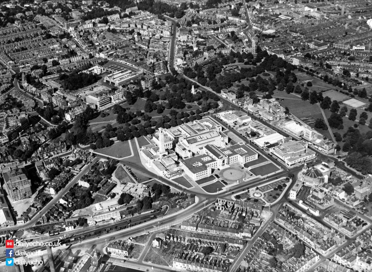
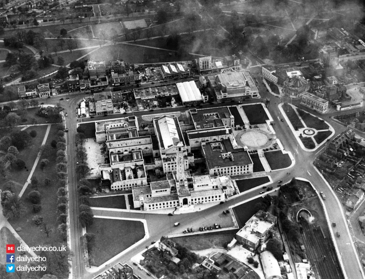
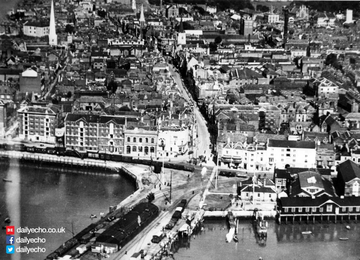
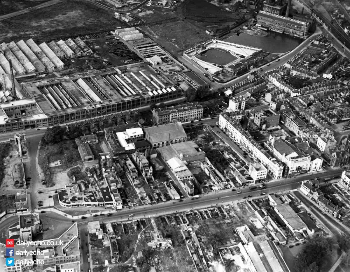
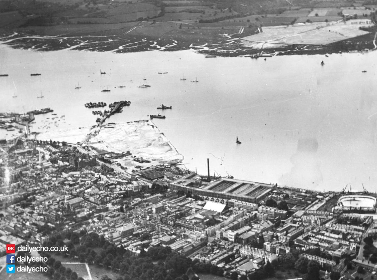
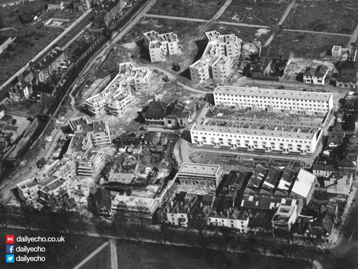
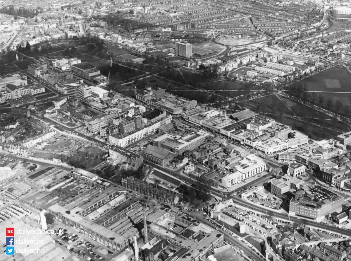
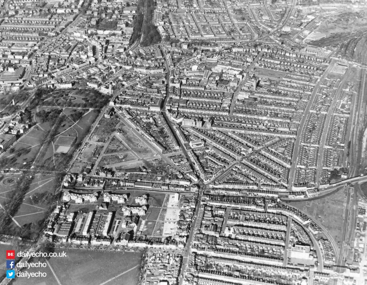
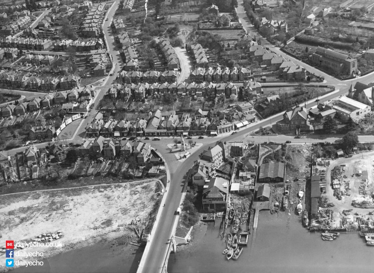
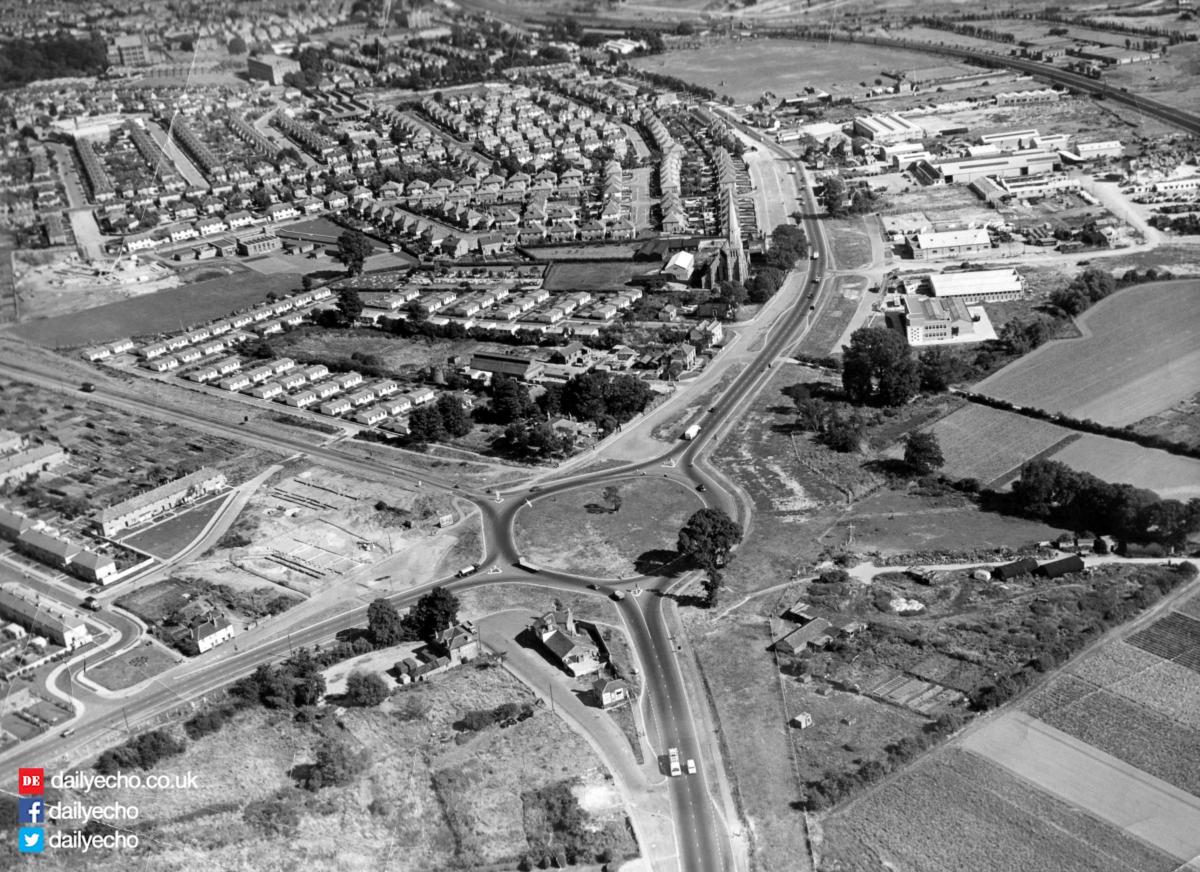
THIS slice of downtown Southampton, the Bevois-street area, as it was known then, is captured in this aerial photograph from July 1965.
The rapidly changing new development work that was going on at the time is framed between St Mary’s street running across the top of the photograph and the railway line running across the bottom of the image.

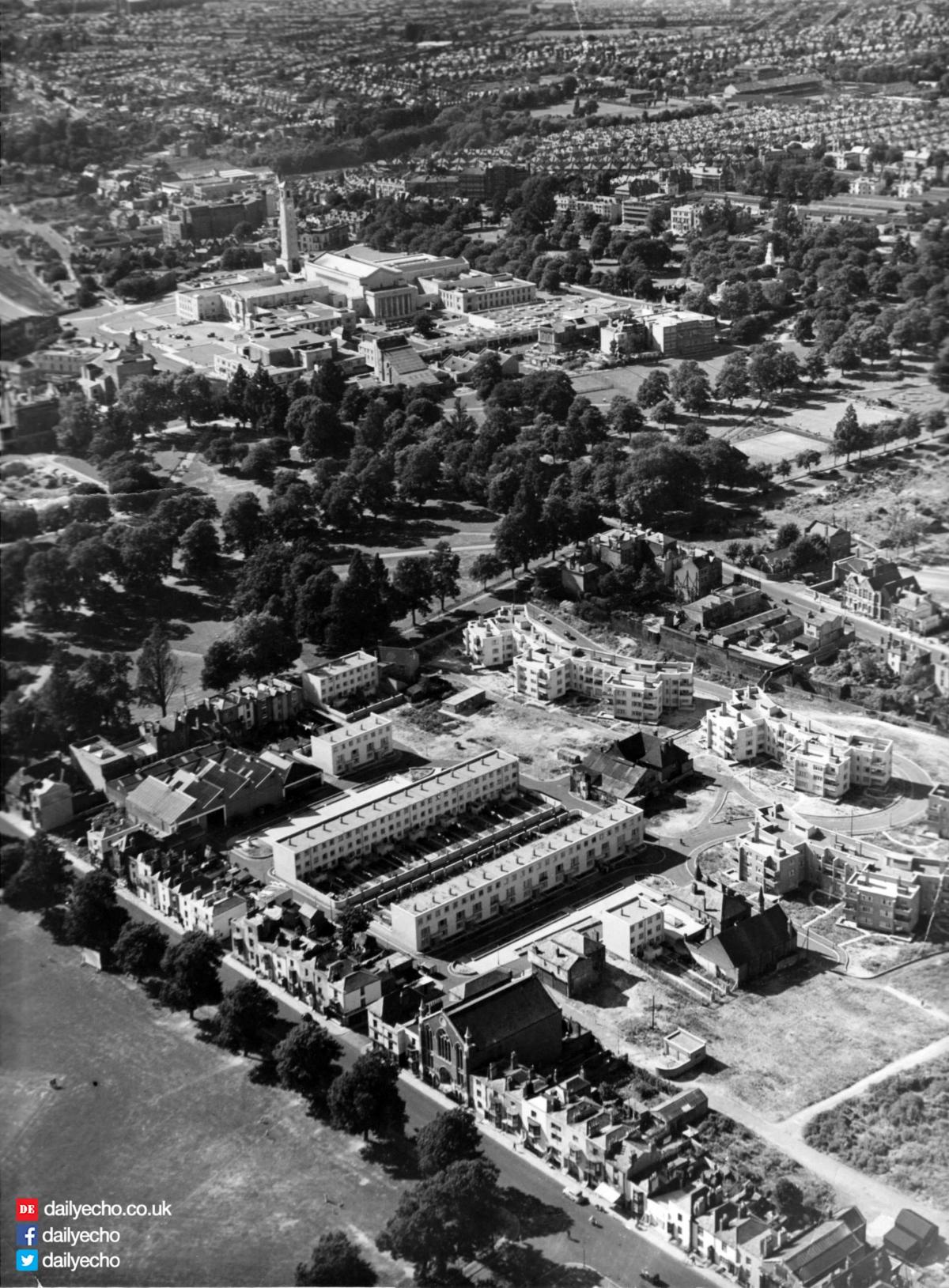
The big 16-storey block development that dominates the area would later go on to become more commonly known as Albion Towers and the Ascupart School situated behind it would later become known as the St Mary’s CE School.
Just in front and to the left of the growing skyscraper is the steeply-roofed James Street Church, while in the top left is part of Southampton Technical College.
And in various places on the plot, new flats and houses can also be seen going up.


Comments: Our rules
We want our comments to be a lively and valuable part of our community - a place where readers can debate and engage with the most important local issues. The ability to comment on our stories is a privilege, not a right, however, and that privilege may be withdrawn if it is abused or misused.
Please report any comments that break our rules.
Read the rules here