

How did your area get its name?
There are many area names in Southampton which are not from ward names. Here’s a look at some of them, past and present.
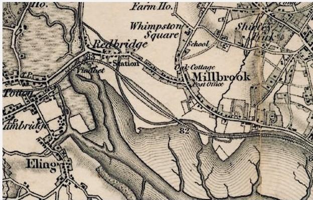
Glen Eyre
Glen Eyre is to the east of Bassett Avenue and later gave its name to a secondary school which is now known as Cantell School.
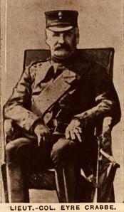
Col Eyre John MacDonnell Stewart Crabbe built Glen Eyre House around 1860.
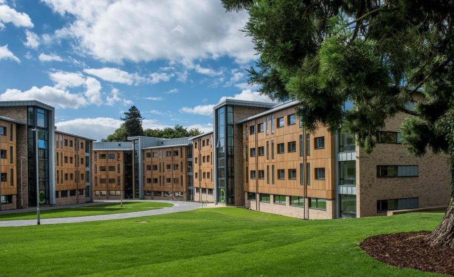
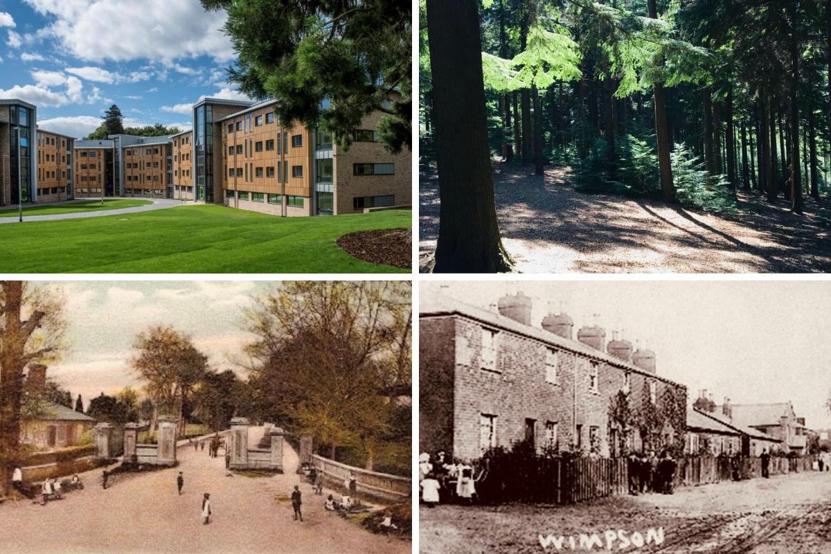
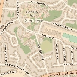
Glen Eyre campus.
The House and Glen Eyre Park were advertised for sale by the Fleming Estate, in 1850-1853.
READ MORE: More Southampton area names explained >>>
It was occupied by his widow Mrs Eyre Crabbe who hosted fundraising events for the Royal South Hants Hospital at Glen Eyre from 1861 until her death in 1888.
Her son, Brigadier-General Eyre MacDonnell Stewart Crabbe sold the property in 1897.
Map showing Glen Eyre.
The Estate was bought by University College in 1947 which became the University of Southampton in 1952.
The Glen Eyre Halls of Residence were built on the site after the house was demolished in the 1950s.
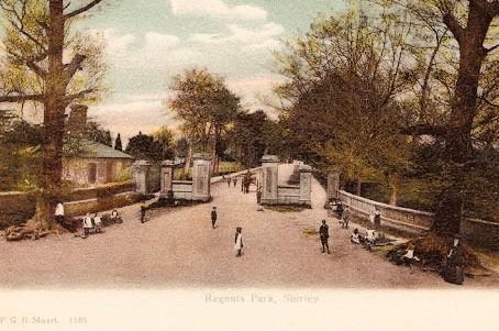
Lordswood and Lordshill
Lordswood and Lordshill were, according to the Anglo-Saxon Charter of 956, within the ancient boundary of the Manor of Millbrook so the “Lord” in these names may be the Lord of Millbrook.
However, the Domesday Book in 1086 says that Nursling Manor included a wood worth five swine. It may also be Chilworth Manor so it may be the Lord of both or either of those Manors that is referenced.
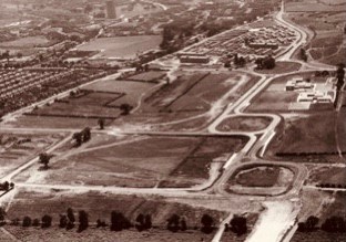
Lordshill before the council estate was built
The use of apostrophes for Lords Hill and Lords Wood varies today and in the past, as does whether they are one or two words.
Lordswood House, maybe once a hunting lodge, was situated to the east of Coxford Road until demolished in 1972.
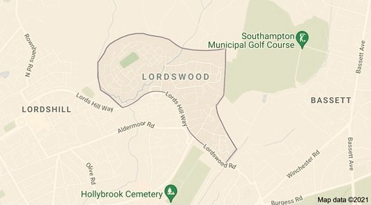
Map of Lordswood.
It was owned by the Barker-Mill family, who also owned Mottisfont Abbey.
There is quite high ground in relation to sea level (46 metres/150 ft) at the top of Hollybrook Cemetery.
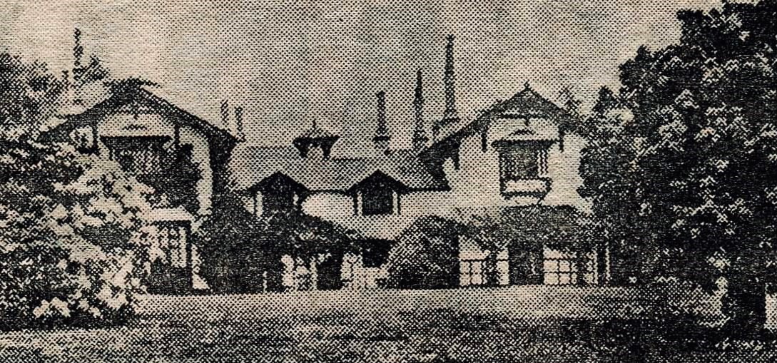
Lordswood House.
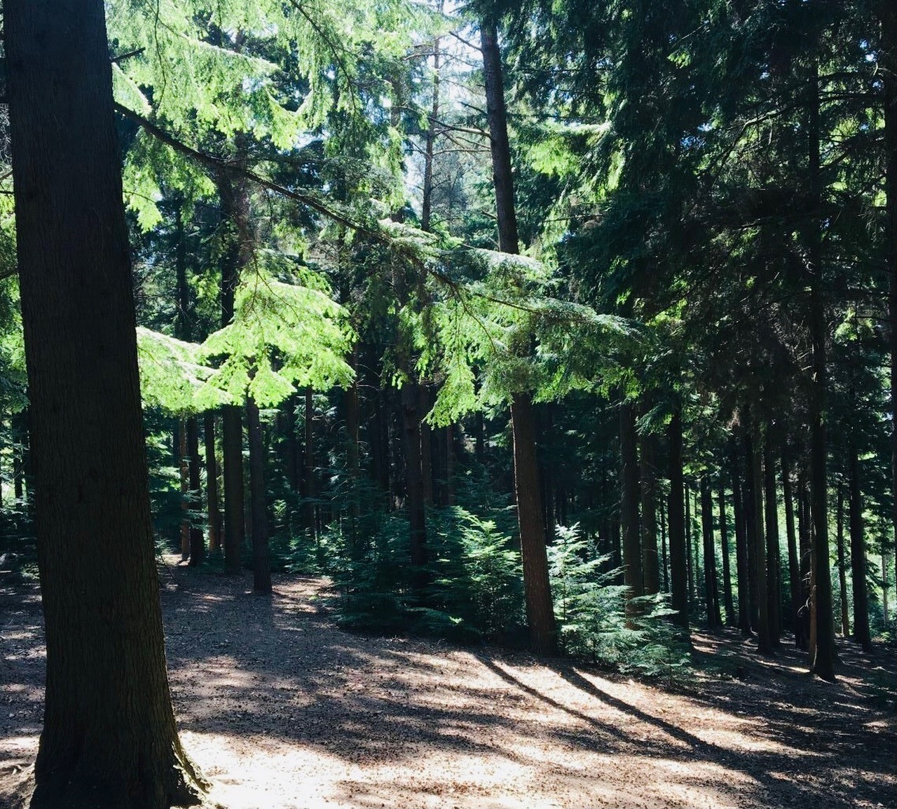
There is still a Council-owned area called Old Lord’s Wood (see picture).
Lordshill prior to 1964 was little more than farmland, with one dead-end road that dropped down to Old Rownhams Lane and Tanner's Brook, between the former Bedwell Arms Public House and Aldermoor Road. It was nicknamed "Soapsuds Alley”, because the washerwomen living there would throw their soapy water onto the road and the natural springs would mix causing a foaming torrent.
Lordswood.
Maybush
Maybush is the area near the junction of Romsey Road and Coxford Road (known as Maybush Corner). A may bush shrub plant is still behind the bus stop and has spectacular white five petal flowers in May.
After World War Two, Southampton Council approached architect Herbert Collins (1885-1975) to design its first post-war housing scheme on a site bounded by Coxford Road and Romsey Road. He had previously designed estates in Highfield, Mansbridge and Swaythling. Collins has part of Solent University named after him.
However, his recommendations were rejected on grounds of expense. His partner, J. Norman Calton, then produced an acceptable standardised scheme using only four different house types. The site plan followed the usual Herbert Collins layout, with cul-de-sacs, green-bordered winding roads and open-plan front gardens.
Regents Park
Regents Park house and grounds formerly occupied this area with the current Regents Park Road following the route of the Carriage Drive. A small gatehouse at the junction of Regents Park Road, Waterhouse Lane and St Edmunds Road still stands.
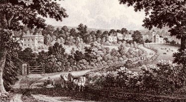
Regents park.
Following demolition of the house, the initial phase of redevelopment was Victorian "villa-style” houses, occupying the Northern part of Regents Park Road.
The southern part has 1930’s style detached and semi detached housing.
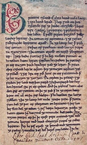
Wimpson
Wimpson was a hamlet and traditional tithing situated west of Romsey Road, the main artery being Wimpson Lane, running south-west towards the River Test. Names on old maps include Winestone and Wimpston.
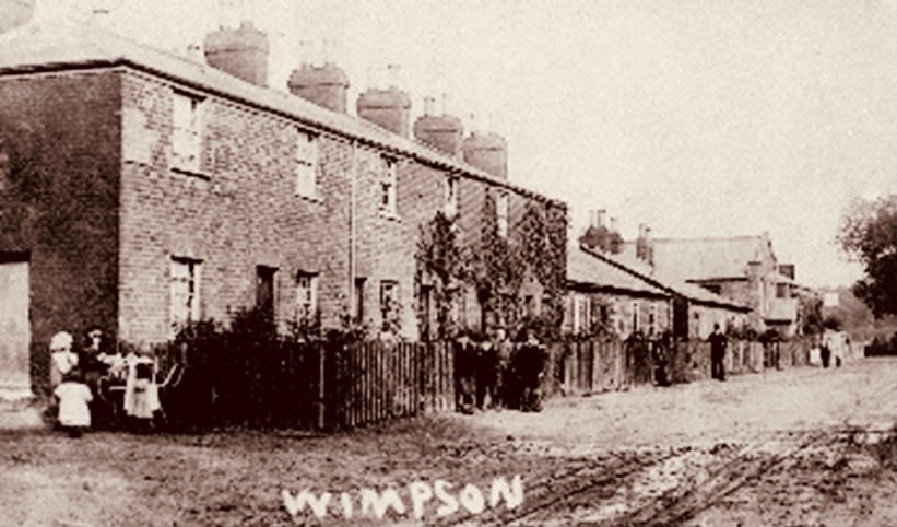
Wimpson.
Originally outside Southampton’s boundary, housing estates were built here in the 1960s, and the area was transferred to Southampton Council.
Jack Wilson is a tour guide with SeeSouthampton.co.uk .


Comments: Our rules
We want our comments to be a lively and valuable part of our community - a place where readers can debate and engage with the most important local issues. The ability to comment on our stories is a privilege, not a right, however, and that privilege may be withdrawn if it is abused or misused.
Please report any comments that break our rules.
Read the rules hereLast Updated:
Report this comment Cancel