
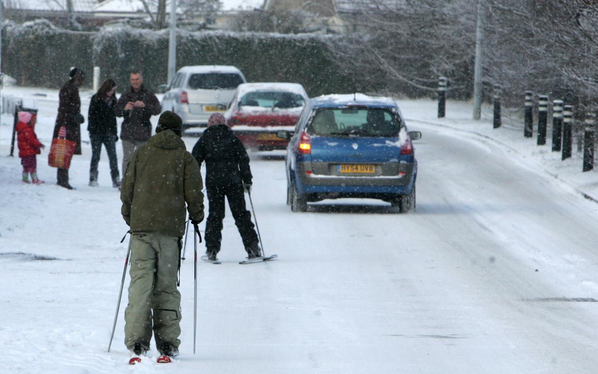
COMMUTERS are facing a second day of difficulty as the Met Office predict yet more snow overnight after a day which brought chaos to the South.
Most of Hampshire's 540 schools were shut as the weather hit roads, rail and airports.
Click here for more on the weather's impact on the roads
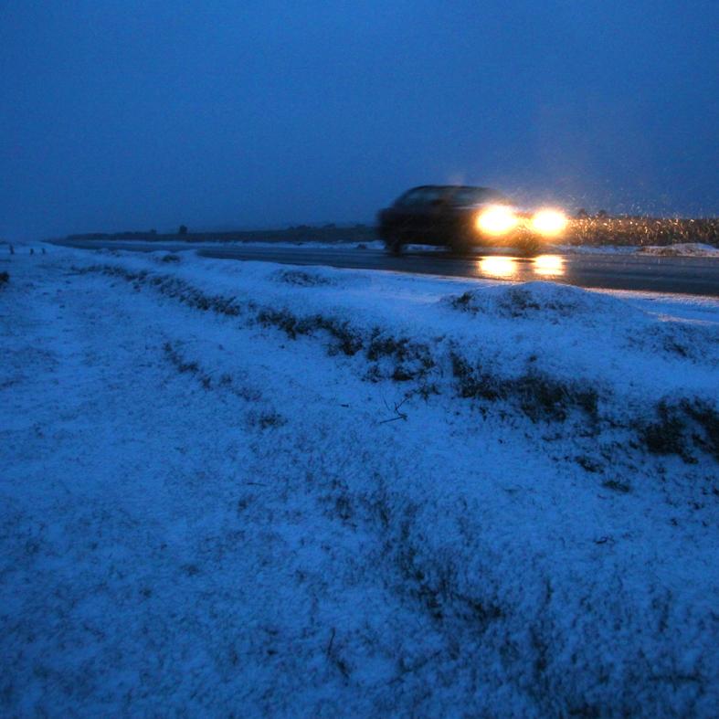
Temperatures - with a wind chill - are expected to plummet to as low as minus 9C as a cold front sweeps over the county, bringing snow and ice - making it the coldest day of the winter so far.
The Met Office classed the snowfall as an extreme weather event.
Head of Forecasting Operations at MetService, Tom Defty said: ''This is likely to be the heaviest and most widespread snowfall across England since January 2003.
''Parts of South-East England, including London and Eastern England will see anywhere from 10-15cm, perhaps above 20cm over the higher ground.''
''Accompanied by strong winds, the worst of the snow will arrive in Kent during Monday morning before spreading North and West to the rest of England during the afternoon.
Click here to find out how to send us your pics and video
''Severe disruption to roads and airports is extremely probable during the peak of the Monday afternoon rush-hour.''
The freezing weather warnings come as new Met Office figures reveal that Hampshire enjoyed a warm and wet 2008.
Hampshire County Council has put 100 workmen and 45 gritter trucks on standby to cope with the big freeze.
Click here to find out which council services are affected
The Met office has said there is "a moderate risk" of extreme weather affecting parts of Hampshire with the potential for further bands of heavy snow.
Forecasters said this snowfall could bring "significant accumulations" in many areas, accompanied by strong easterly winds bringing drifting to higher ground.
Gusts have been forecast of up to 20mph across the county.
Although most parts will see snow showers, forecasters have also predicted a little sunshine and temperatures of 0 degrees centigrade (32 Fahrenheit) this afternoon.
They say the snowfalls will spread from the south east to the north and west later today.
The Met Office has predicted rain, sleet and snow tonight which will clear away northwards to leave clear spells and a widespread frost.
Temperatures will dip tonight to -2 degrees centigrade (28 Fahrenheit).
p> Looking further ahead, more snow is expected to hit South Hampshire tomorrow.
Wintry showers are likely along the south coast on Tuesday afternoon as the mercury reaches about 4C.
Overnight, the rain, sleet and snow will clear northwards and a widespread frost will develop across the region.
Rain is expected on Wednesday and Thursday, while there is a good chance of snow returning on Friday and over the weekend.
Click here for the latest Weather update
Send us your snow pictures to picdesk@dailyecho.co.uk and snow video clips to newsdesk@dailyecho.co.uk


Comments: Our rules
We want our comments to be a lively and valuable part of our community - a place where readers can debate and engage with the most important local issues. The ability to comment on our stories is a privilege, not a right, however, and that privilege may be withdrawn if it is abused or misused.
Please report any comments that break our rules.
Read the rules hereLast Updated:
Report this comment Cancel