


William Shakespeare, who may well have spent time locally as tutor to the 3rd Earl of Southampton, wrote: “A rose by any other name would smell as sweet”. However, names in our area can also be rather confusing for locals and especially for newcomers.
Where do you think Southampton’s High Street is?
Many would assume that the area around the entrance to Westquay with its large shops is the High Street. In fact, the area from the Bargate down to Town Quay is named the High Street as it was once the centre of commercial activity.
It has a series of pavement plaques from the Bargate to Town Quay that tell some of the city’s history.
Some will refer to this as Below Bar though that name is not formally adopted.
High Street with Holy Rood on the right.
To add to the confusion old maps name this High Street as English Street as the Anglo Saxons were pushed east after the Norman invasion.
We still have a nearby French Street near the medieval West Quay where Norman merchant families once lived. It is south of today’s Westquay shopping centre.
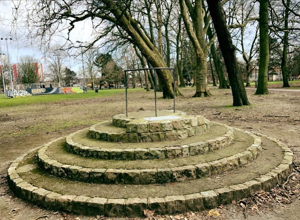
The precinct in front of the Bargate only dates from 1971. Worried that people would start public speaking in it, the Council built a Speakers Corner platform opposite the former Debenhams in Hoglands park.
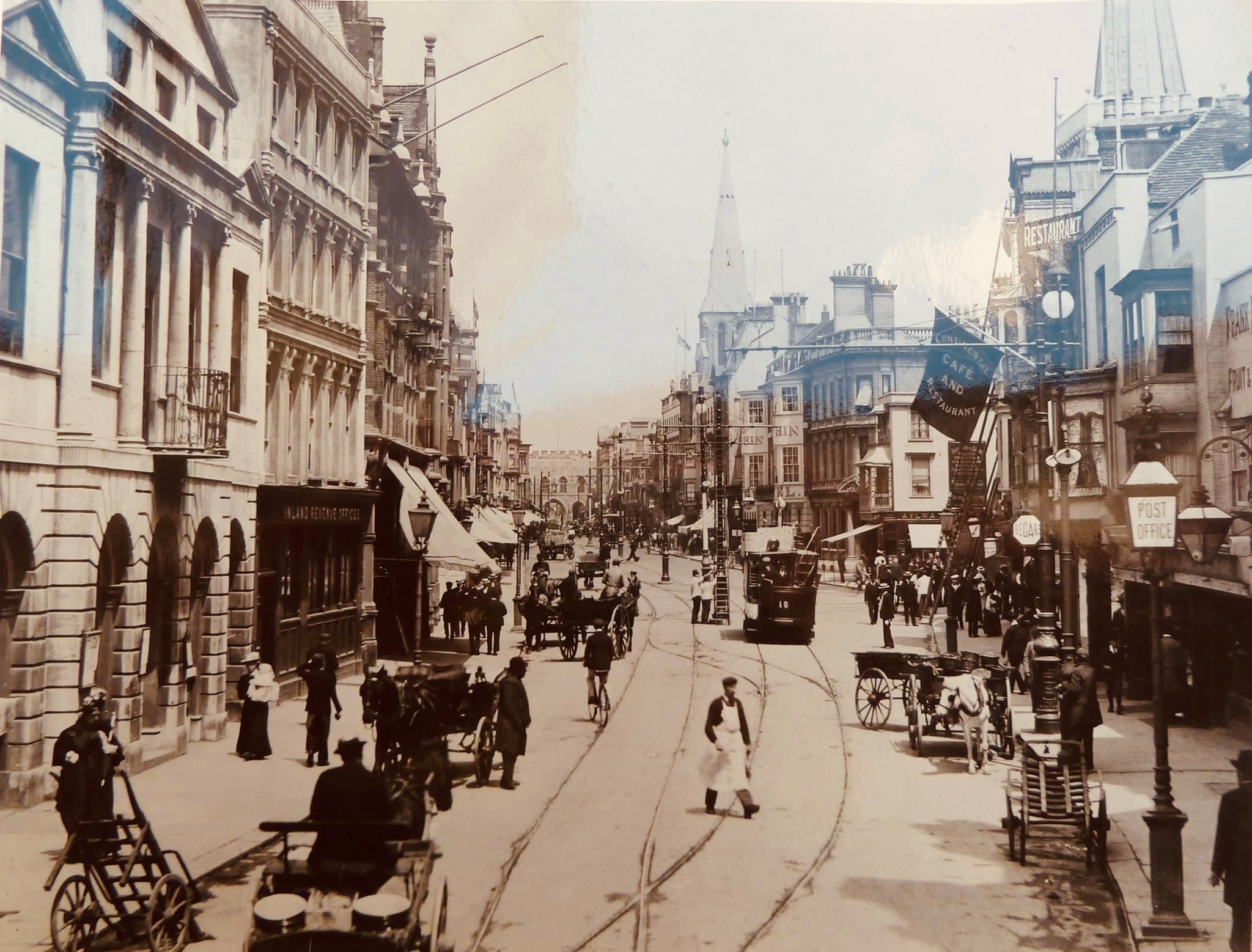
Above Bar Street from the Bargate in 1890.
Above Bar Street runs north from the Bargate.
In 2011 the Council put up red signs all the way along Above and Below Bar and designated the whole stretch as the QE2 Mile.
The ship left its home port of Southampton for the last time in 2008. One of its anchors is outside Holy Rood.
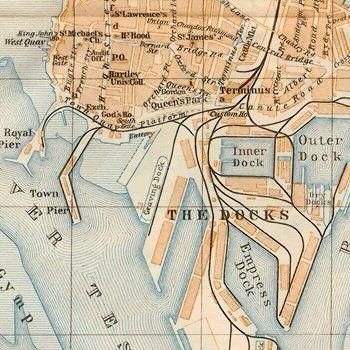
Weston Shore or Western Bay?
The bay and its shoreline once came lapping up to the Western Walls of the Old Town. However, from 1927-1934 the Western bay was reclaimed to create the New Docks.
Much of the original old docks, dating from 1837, have been repurposed as Ocean Village.
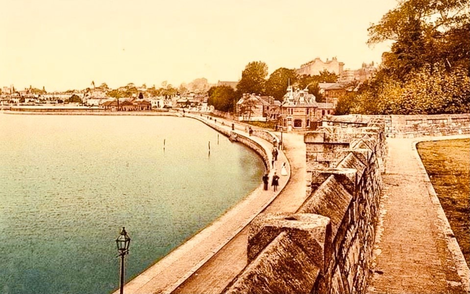
Western Esplanade.
However, Weston Shore is located in Weston on the east side of the city.
Do you know the difference between Bitterne, Bitterne Park and Bitterne Manor?
Bitterne has a distinct identity and its own Bitterne Local History Society (BLHS) with its own shop.
Bitterne Manor was where the Romans set up a camp at what was called Clausentum. Vespasian Road there recalls the Roman Emperor who died in 79 AD.
Bitterne Park Triangle has its distinctive Sayers Clock Tower which was once in Above Bar Street until 1935.
The Bitterne Park area was built by the National Liberal Land Company. They wanted a teetotal estate with any pubs only on its boundary.
Were you aware there are two St Denys Churches?
St Denys has a remnant wall from its former Priory in a Priory Road back garden. The Priory was established in 1124 by King Henry I whose son had been drowned in an English Channel crossing.
St Denys Church was built in 1868. However, there is another, older, St Denys Church in Old Chilworth village.
Where does Shirley Road begin and Shirley High Street end?
Shirley has Shirley Road which runs from Four Post Hill to where Lidl is today.
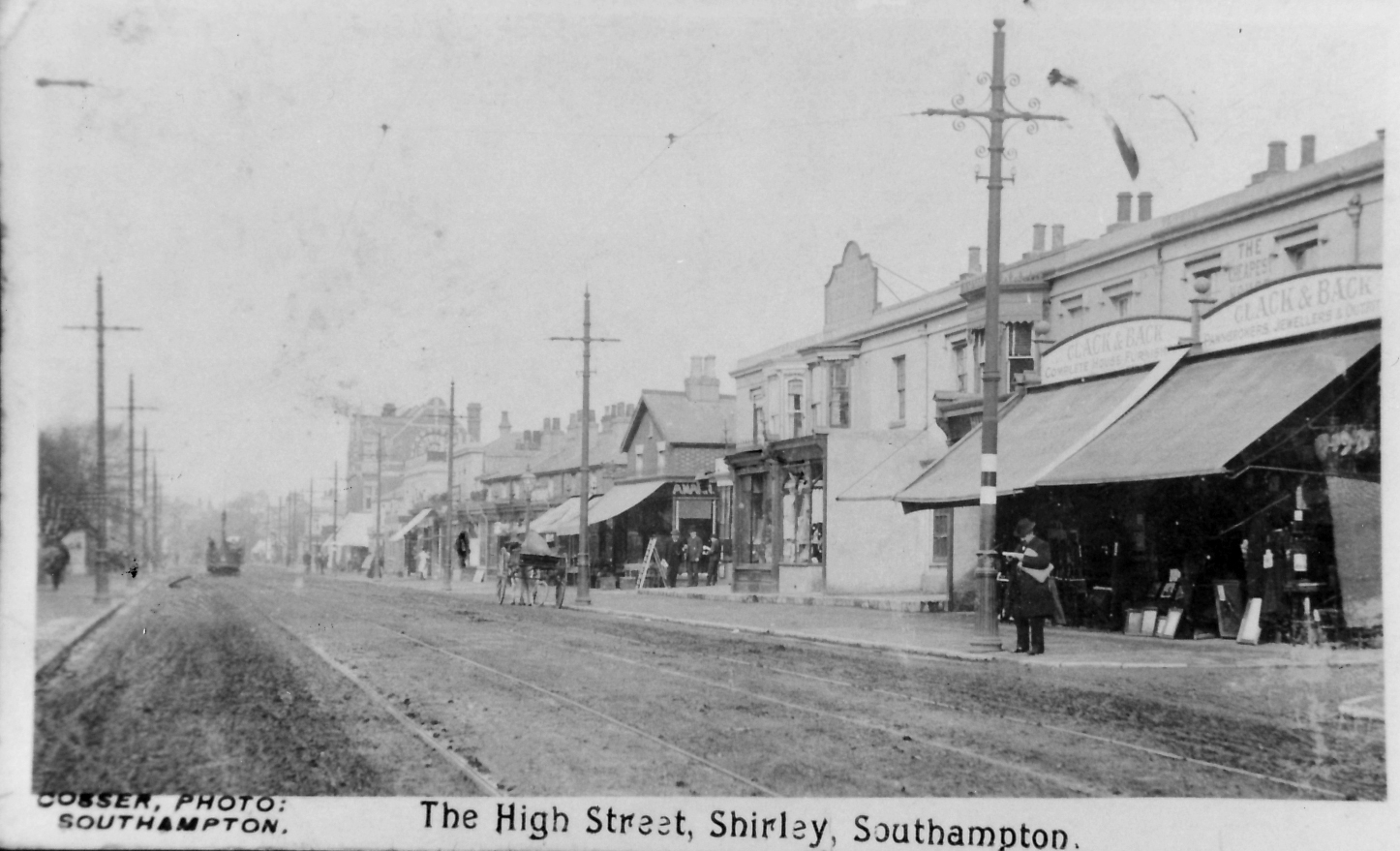
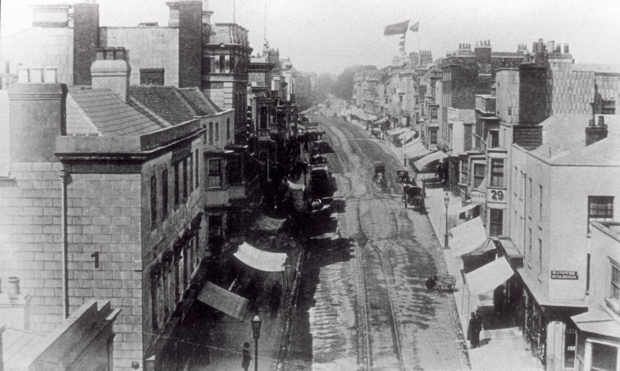
Shirley High Street, dated circa 1900's. Southern Daily Echo Archives..
The road then becomes Shirley High Street until it becomes Romsey Road north of Shirley precinct.
Have you ever found these confusing?
There are also the Upper Shirley and Shirley Warren areas.
Millbrook has Millbrook Point Road, once a popular beach spot for locals before the creation of the New Docks.
Freemantle is on the west of the city but Freemantle Common is on the east.
Further afield we have Totton and Totton West which is on the settlement of Hangere.
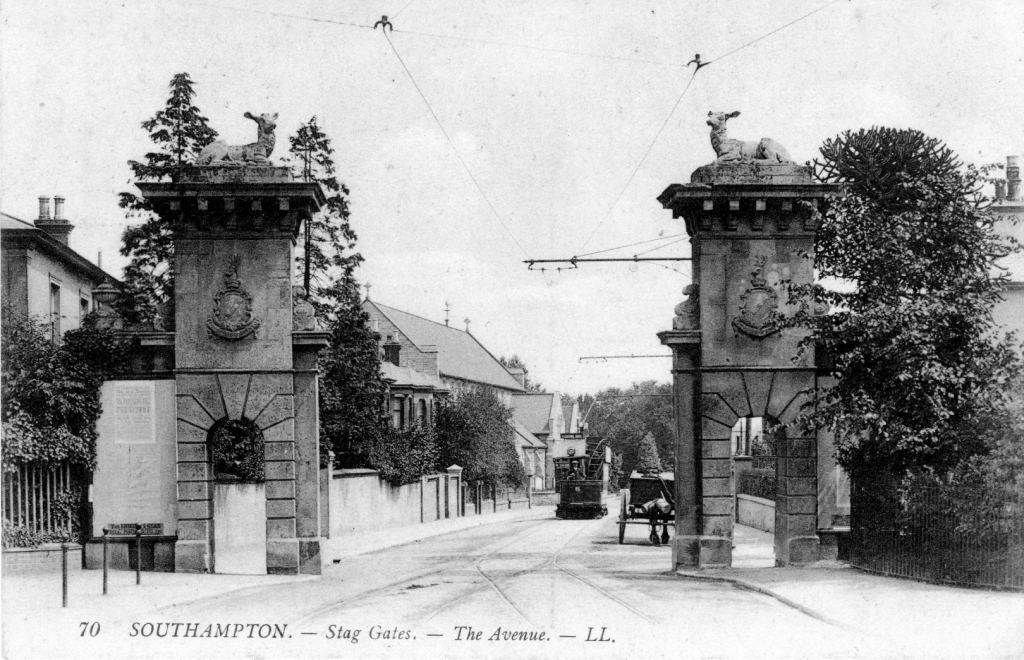
Stag Gates..
It was mentioned in the Domesday Book of 1086 and is now recalled by the Hanger Farm arts centre.
We also have West End confusingly on the eastern border of Southampton. On the west side of Southampton there is an East End near Beaulieu.
Between Southampton and Romsey is North Baddesley but South Baddesley is some 20 miles away in the New Forest.
To add to the confusion, Sotonians still use names of places such as Stag Gates which were demolished in 1919!

SeeSouthampton logo.
Martin Brisland is a tour guide with SeeSouthampton.co.uk .


Comments: Our rules
We want our comments to be a lively and valuable part of our community - a place where readers can debate and engage with the most important local issues. The ability to comment on our stories is a privilege, not a right, however, and that privilege may be withdrawn if it is abused or misused.
Please report any comments that break our rules.
Read the rules hereLast Updated:
Report this comment Cancel