


Mansbridge was once the southern-most bridge across the Itchen! A further look at Southampton’s neighbourhood names.
Mansbridge
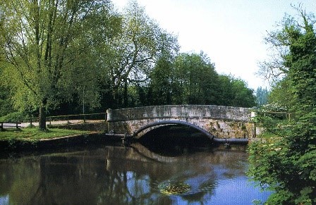
There has been a bridge here for many centuries - the earliest mention was in 932.
The name appears in the South Stoneham land charter of 1045 as "Mannaes brige”. It has been suggested that “Mannaes” relates to the neighbouring territory of the Meon-wara.
READ MORE: From Redbridge to Bitterne – how did your area get its name >>>
Mansbridge gave its name to a “hundred” and to two medieval Manors - Mansbridge/Swaythling, north of the River Itchen, and Mansbridge/Townhill, south of the River.
Area names - mansbridge
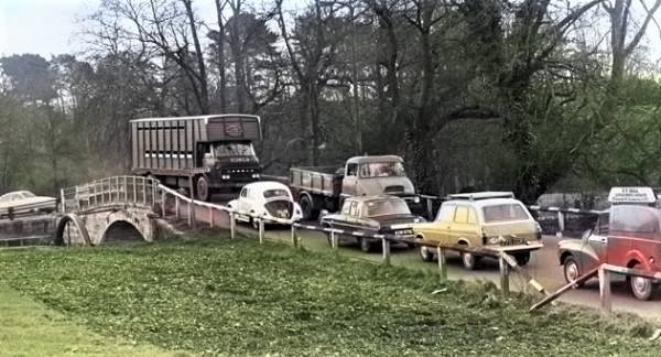
Apart from ferries, it was the southern-most crossing point of the river until the construction of the bridge at Woodmill. It was also the only route for wheeled traffic until Northam Bridge was built in 1799 and now it’s now the northern-most.
The old bridge, a single-arched bridge of tooled stone, was built around the late 18th century by John Doswell. With traffic jams becoming hopeless and the weight damaging the bridge, it was replaced by a new bridge for vehicles in 1976. After this time the old bridge was repaired and closed to traffic but not to pedestrians.
Area names - mansbridge
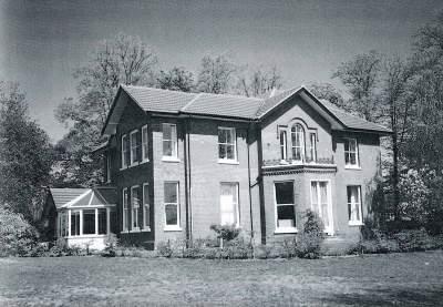
Highfield
Highfield may once have simply indicated the most elevated of Portswood's common fields, though some old maps of Southampton suggest that the name was originally Hay Field.
In 19th century directories, the name is applied to the houses and the road on the east side of the Common, towards the north end.
READ MORE: How parts of Southampton got their name >>>
Some of these buildings still stand, including Ivy Bank and Oak Mount House which was built in 1850 as a private residence before becoming a school in 1907. The school closed in 1989, but the house was modernised and retained when the surrounding area was developed.
Highfield Ivy Bank
Highfield House and Estate was the southern-most of these large residencies.
The estate was sold for development in 1910 but the house survived until 1929 when it was demolished to make way for a block of flats on the corner of Oakmount Avenue and Westbourne Crescent.
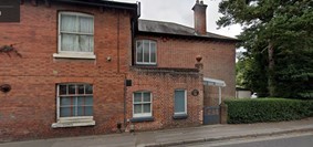
The Estate entrance Gateway and a Gothic lodge-house remain on the edge of the Common.
Highfield Lane was possibly used by the Portswood inhabitants as a droveway, in exercising their Rights of Pasture on the Common.
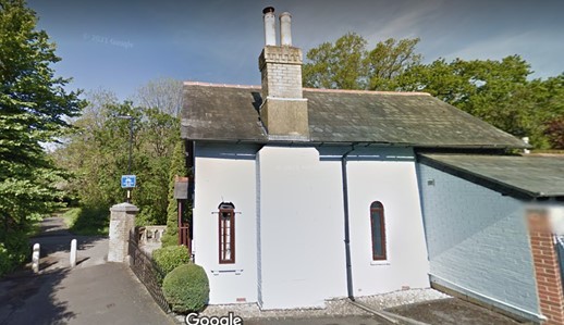
Highfield Lodge. Picture: Google
Mount Pleasant
Mount Pleasant was originally the name of a district to the North-west of Northam, appropriated in the 19th century to Mount Pleasant Road.
There are many places around the country with this name, thought to have originally come from John Bunyan’s “Mount Pleasant” in Pilgrim’s Progress.
READ MORE: Do you know how the area you live in got its name? >>>
However, the use of this name was often ironic, taken from Mount Pleasant in London which between the 16th and 19th centuries, was occupied by a “laystall” — a vast eight-and-a-half-acre site devoted to the dumping of human waste.
Mount Pleasant
There’s nothing to suggest that the Mount Pleasant area in Southampton was used in this way.
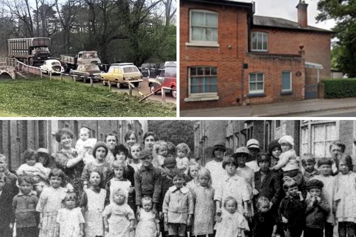
Northam
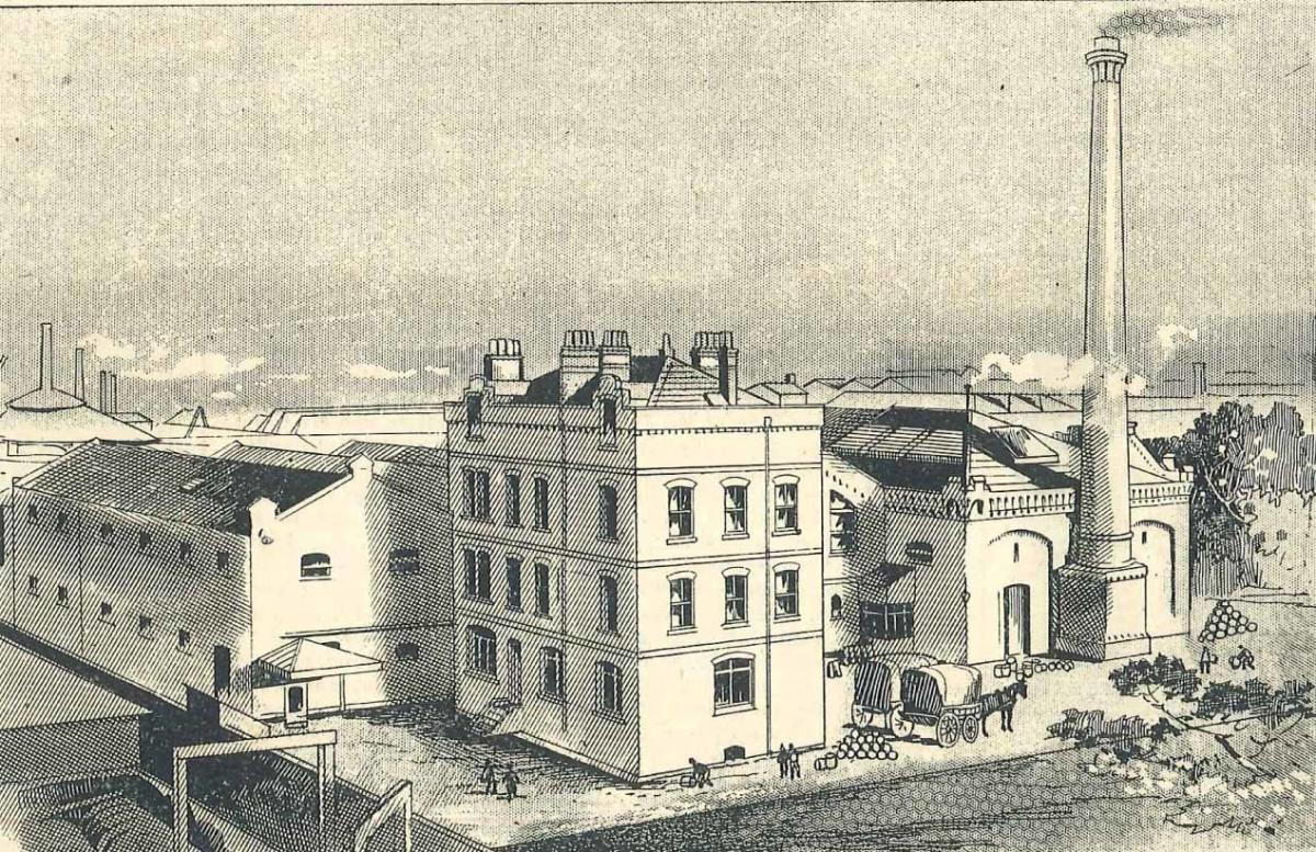
Northam was originally named Nordhannwig - north of the Saxon port of Hamwic. It was rural until 1693 when John Winter purchased the Manor of Northam and a shipyard was established.
More wharves were built in the early 18th century, the Gas Works in the 1820s and from the 1830s housing was built inland for dockworkers and seamen.
The area was badly overcrowded and the houses were small and often housed several families. There was considerable poverty and a continual problem with flooding from high tides.
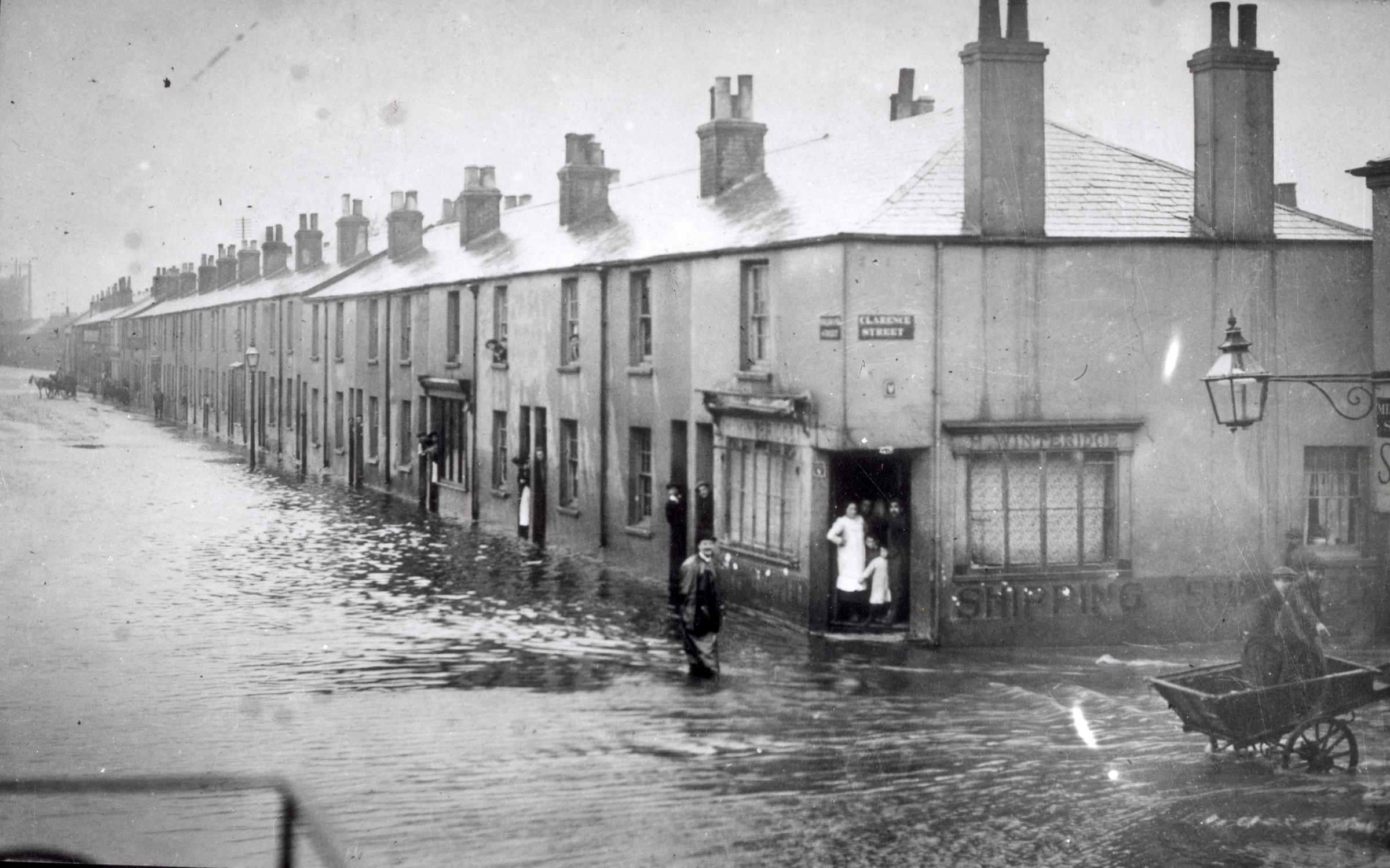
Northam flood
Shipbuilders Day, Summers and Co. re-located there from Millbrook in 1839 and, with the coming of the railway, Northam developed further as an industrial area.
In the early twentieth century, industries included ship-building and sawmills and products included linseed, artificial manure, soap and candles, margarine, lime, cement, lead and tobacco.
In 1956, the tight-knit community of Northam was declared a slum clearance area and the Victorian terraced houses were replaced with blocks of flats.
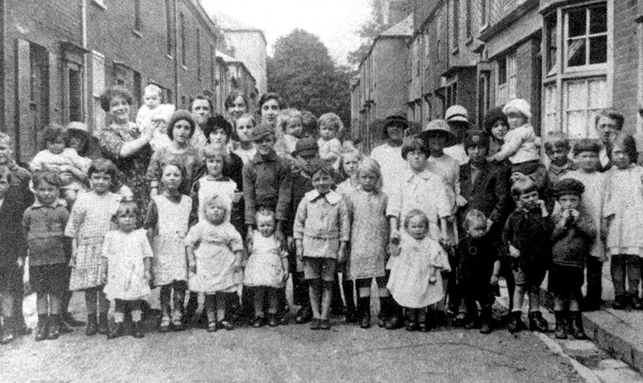
Northam residents.
The north stand at Southampton FC’s ground is the Northam Stand, whose spectators sing: “We're the Northam, we're the Northam, we're the Northam over here!", usually responded to by fans from the Itchen stand, sometimes from the Kingsland stand, but hardly ever from the Chapel one!

Jack Wilson is a tour guide with SeeSouthampton.co.uk .


Comments: Our rules
We want our comments to be a lively and valuable part of our community - a place where readers can debate and engage with the most important local issues. The ability to comment on our stories is a privilege, not a right, however, and that privilege may be withdrawn if it is abused or misused.
Please report any comments that break our rules.
Read the rules hereLast Updated:
Report this comment Cancel