


A familiar and early plan of Southampton is that produced by John Speed published in 1611 in his atlas “The Theatre of the Empire of Great Britain” considered to be one of the world's great cartographic treasures. The plan of Southampton appears on the page featuring the Isle of Wight. The space on the Hampshire page shows the plan of Winchester.
John Speed was not a Sotonian although many future generations of his family were. He was born in Farndon, Cheshire around 1552 and became interested in cartography (map making) in his late twenties. Speed presented Queen Elizabeth with several of his maps in 1598 and when James I came to the throne in 1603 he produced maps for the new King. Through his Royal connection he met many important historians including William Camden and as a consequence he included with each of his maps a description of the county extracted mainly from Camden’s Britannia.
Speed was not thought a great scholar but was particularly skilled at compiling the research and map surveying work of others. He openly admitted that he drew heavily on the county maps of earlier cartographers such as Christopher Saxton and John Norden. What made his maps so innovative was his inclusion of town plans considered to be his main contribution to cartography. Of the 73 plans in his atlas, it was the first time that 50 of the towns had been mapped.
The town plans have been described as “map views” being the combination of a ground plan with a bird’s-eye perspective giving them a unique charm. Evidence suggests that Speed’s son John helped with the town plans.
Speed’s plan of Southampton is worth close examination for it has a number of quite interesting features revealing much about the town at that time. Most interesting is his representation of Southampton Castle which is probably the only contemporary image we have as the castle was sold and demolished shortly after Speed’s map was published in 1611.

At the bottom of the plan, a game of bowls is shown being played on the Old Bowling Green but of interest is the man walking with a staff. This is a representation of a pilgrim for Southampton was at that time the starting point of “The Old Way” a 240-mile pilgrimage route along the coast to Canterbury.
Nearby is what looks like a fence but is in fact drying rails or tenter frames used for drying the cloth woven in the town by the newly arrived Walloon refugees from what is Belgium today. The cloth was held taut on the frames by tenterhooks. This is the origin of the saying being on tenterhooks.
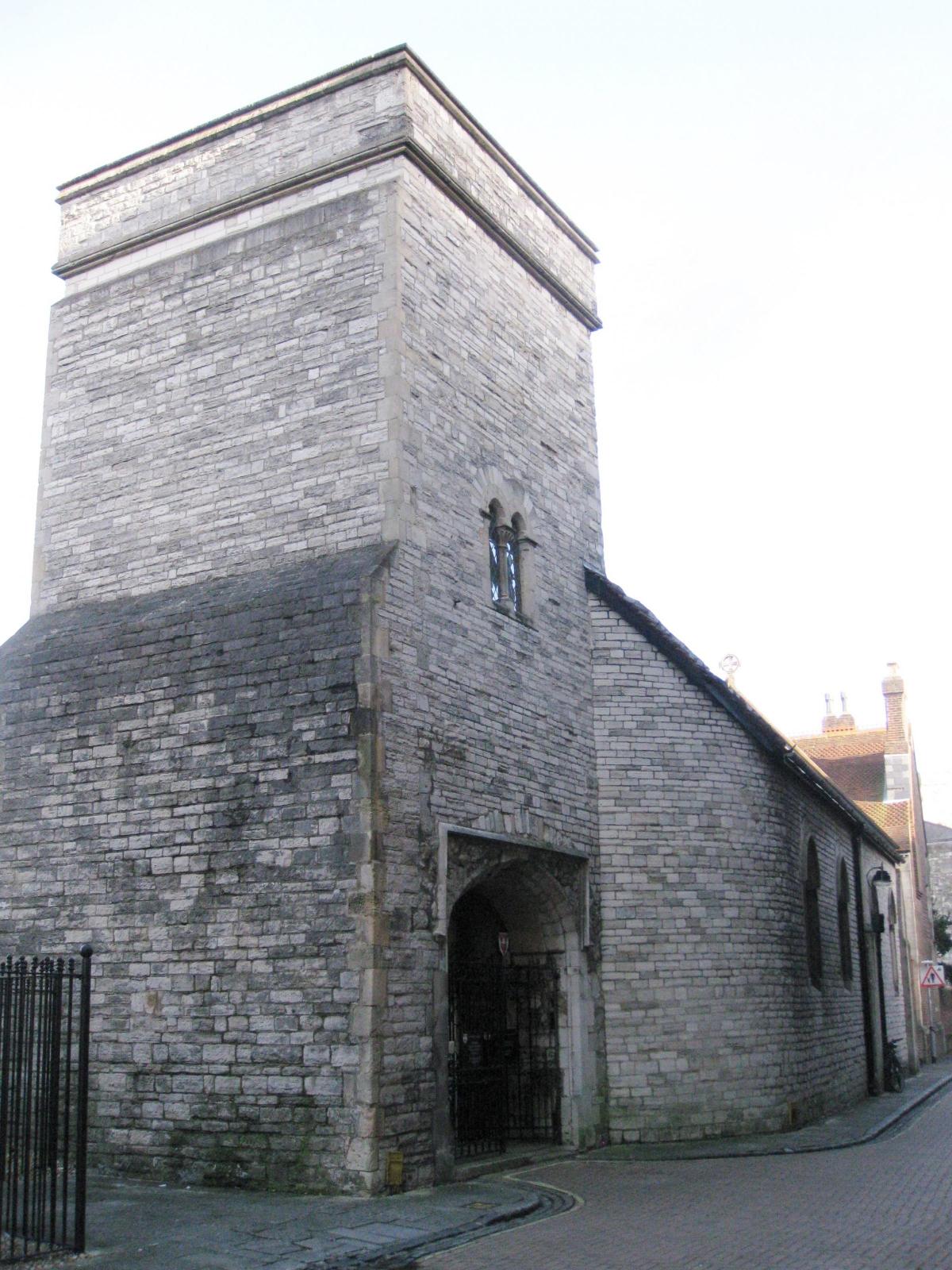
The Walloons were Protestants escaping the Spanish Inquisition who had been given permission to settle in Southampton by William Cecil, adviser to Queen Elizabeth. They were mainly weavers who were granted the use of the small chapel of St Julien in Winkle Street as their place of worship. They were given special permission by the Queen to worship in French, their first language, provided they followed the Anglican Book of Common Prayer. St Julien’s is known as the French Church to this day and services are still held there in French.
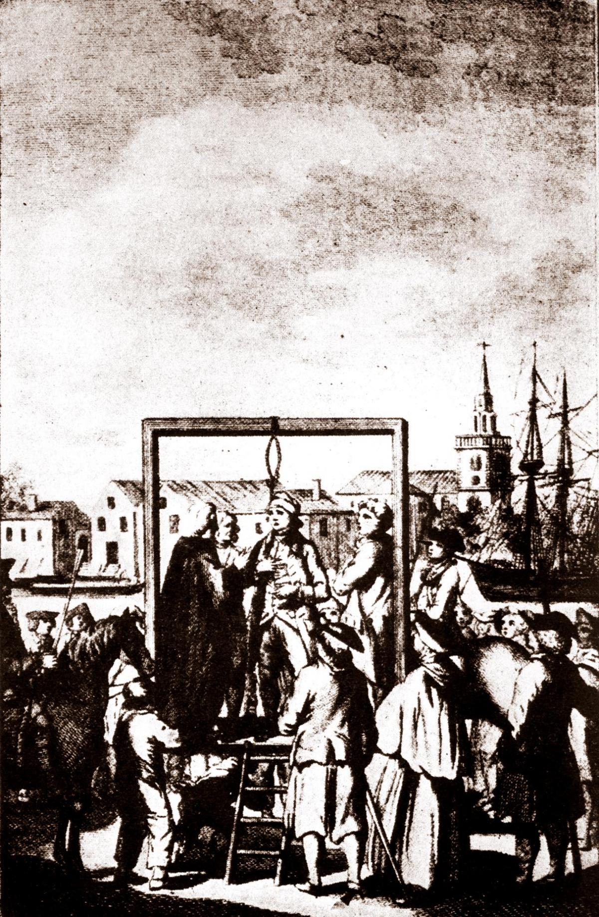
In the bottom right hand corner can be seen what looks like goalposts but is in fact the Admiralty Gallows. Felons who committed crimes at sea within the jurisdiction of Southampton’s Admiralty court were cruelly hanged and drowned there.

In front of St Michael’s Church the fish market can be seen. This was dismantled and relocated in 1634 close to Westgate and today is known as Westgate Hall. Dismantling and reassembling a building somewhere else is where the saying “To up sticks and move” comes from.
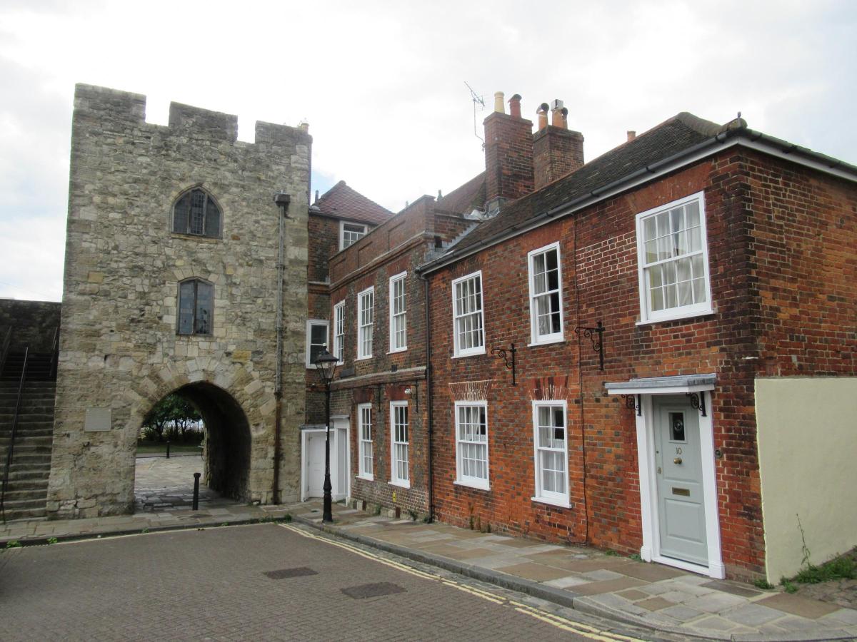
Interestingly, the plan shows the Westgate without a tower.
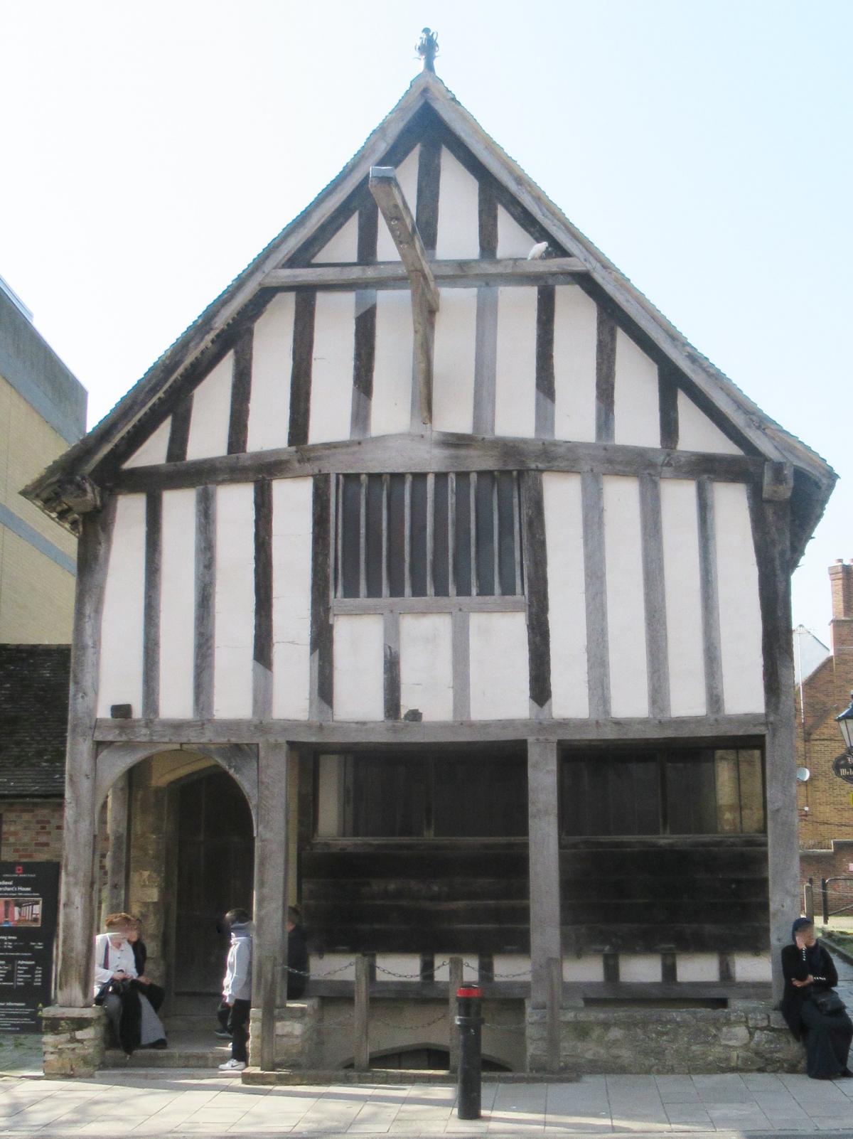
An endearing feature of the map is the representation of the houses lining the streets. Each of these would have looked like the restored Medieval Merchants House in French Street.

Godfrey Collyer is a tour guide with SeeSouthampton.co.uk .


Comments: Our rules
We want our comments to be a lively and valuable part of our community - a place where readers can debate and engage with the most important local issues. The ability to comment on our stories is a privilege, not a right, however, and that privilege may be withdrawn if it is abused or misused.
Please report any comments that break our rules.
Read the rules hereLast Updated:
Report this comment Cancel