


AN AMBER weather warning has been issued for Southampton after Hampshire's emergency planning officer warned of potential major disruption if the forecast 10 centimetres of snow lands on the county on Thursday.
The Met Office has issued two concurrent weather warnings for Southampton on Thursday.
No snow is currently forecast for Wednesday but temperatures will plunge to -2C this evening, with a 'feels like' temperature of -9C.
An amber (more serious) weather warning for snow and ice is in place from 2pm on Thursday until 8am on Friday, while a less serious yellow warning of wind and snow is in place from 9am on Thursday until 11.55pm on Thursday.
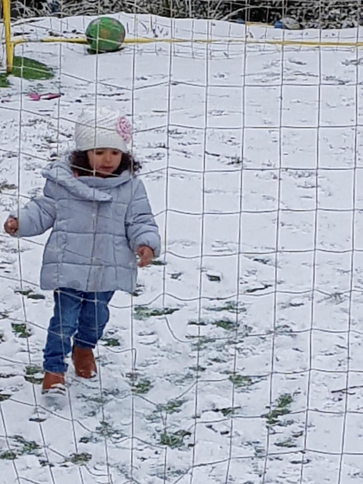
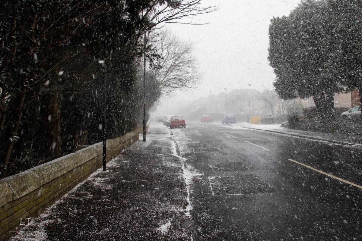
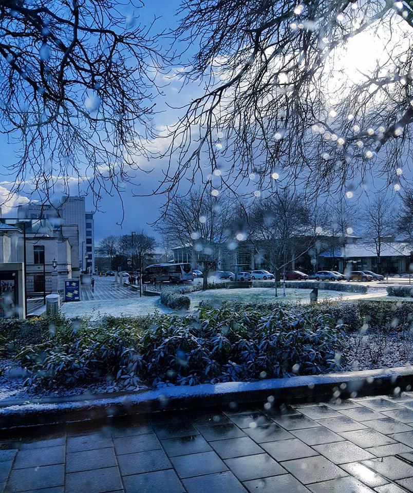
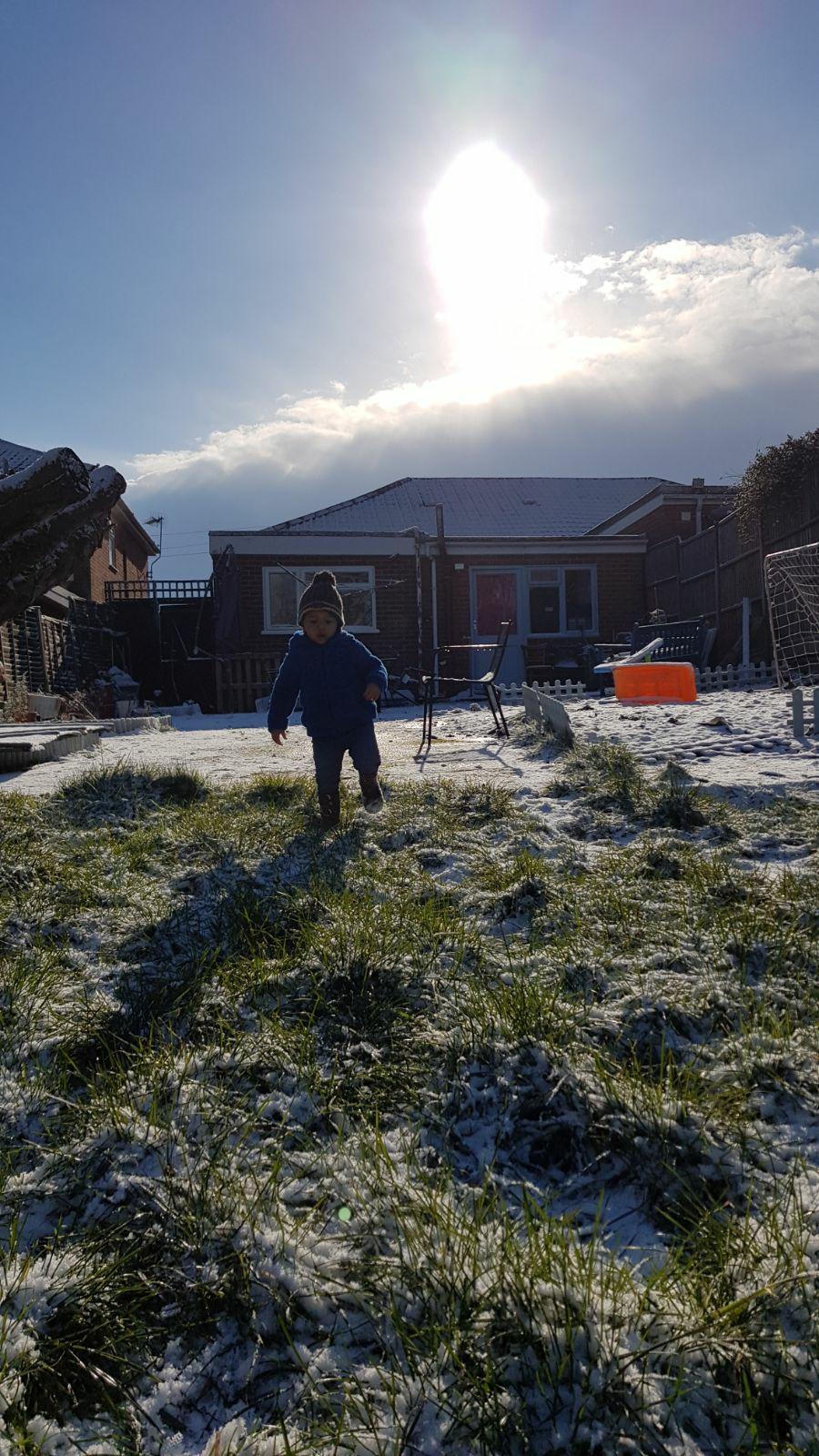
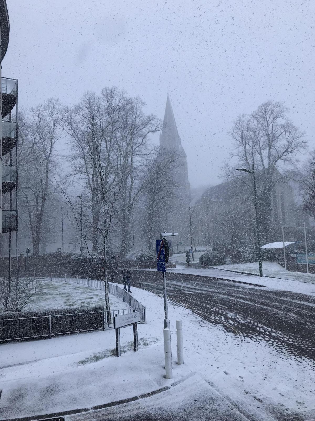
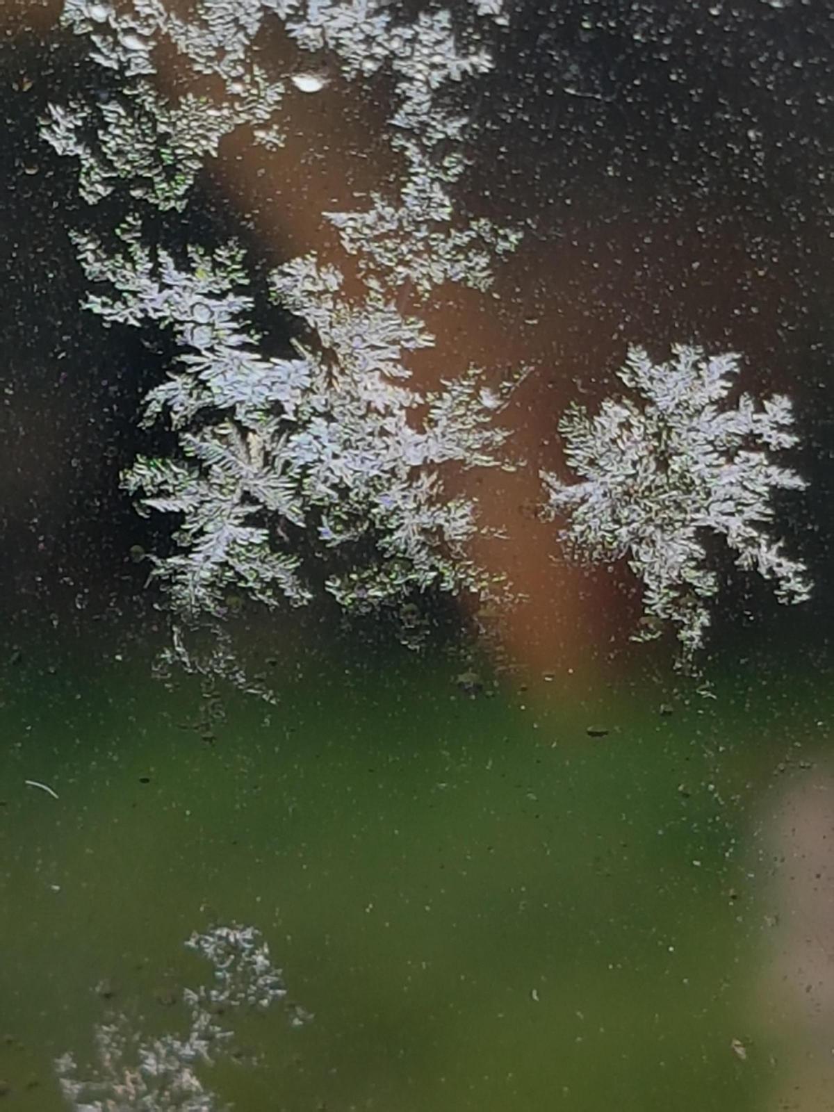
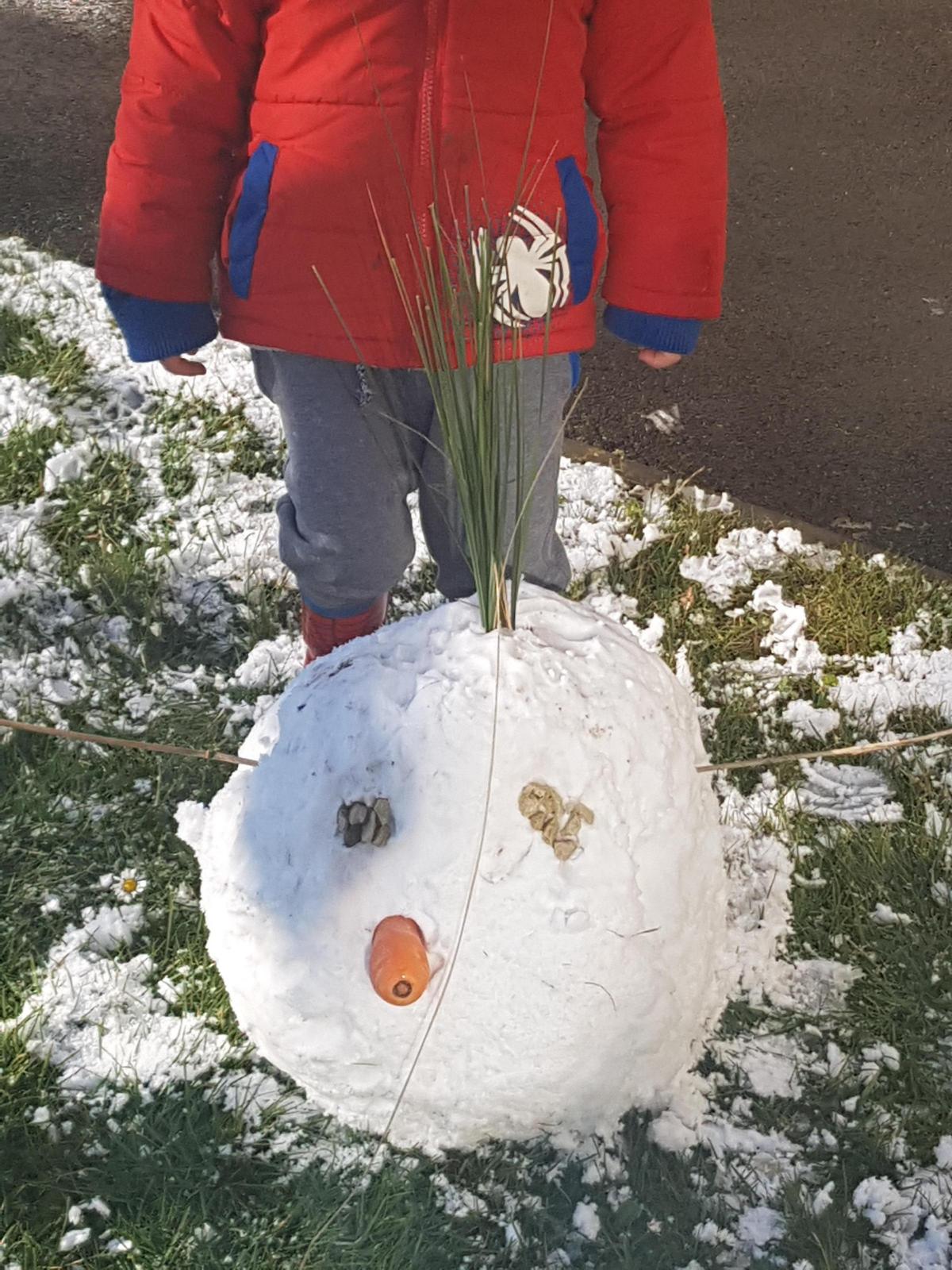
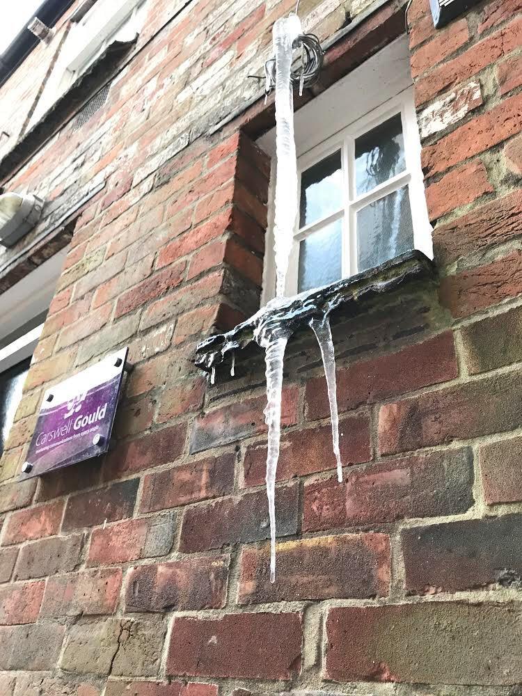
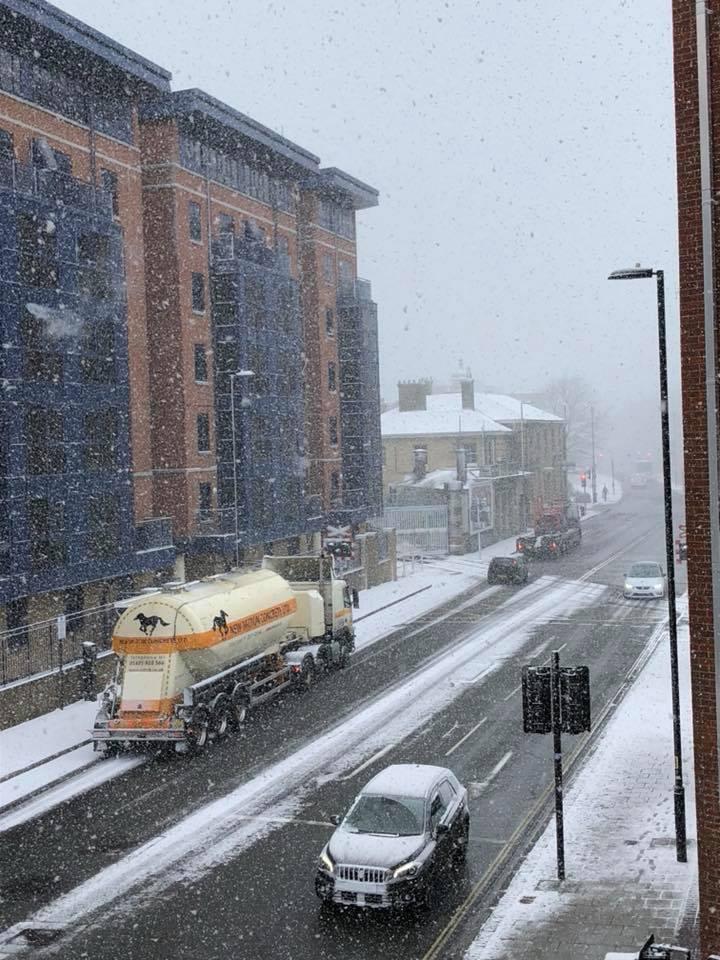
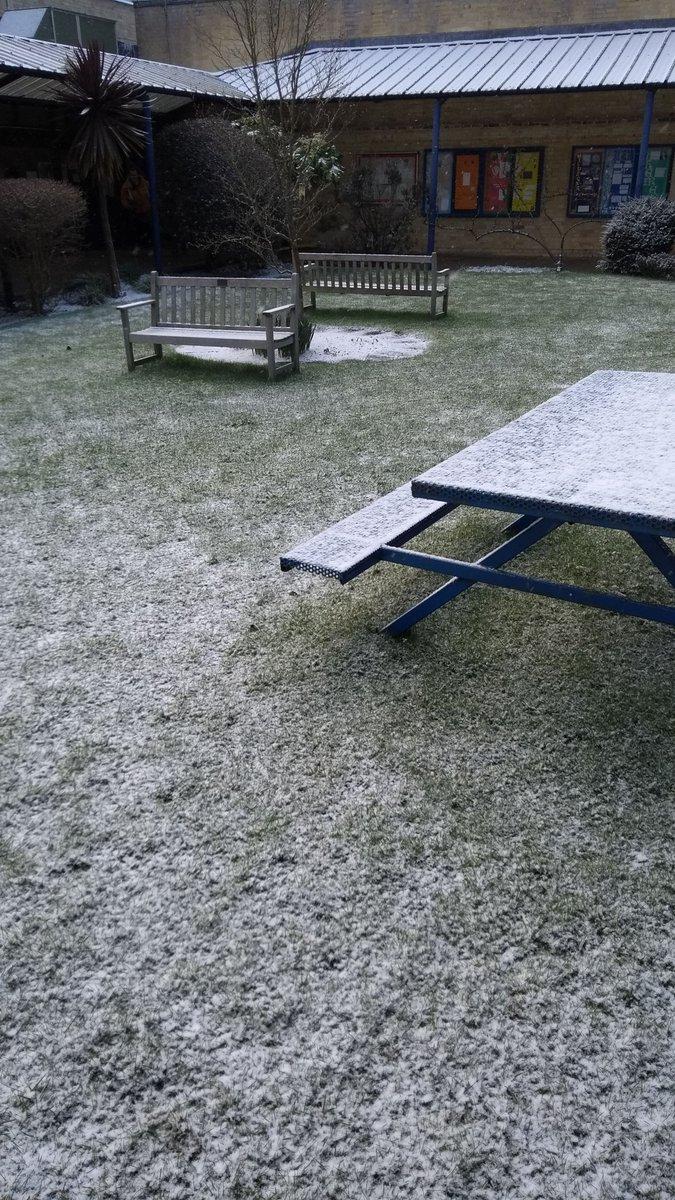
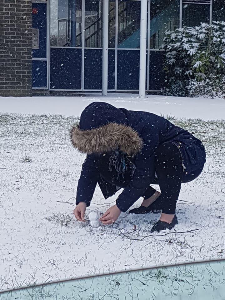
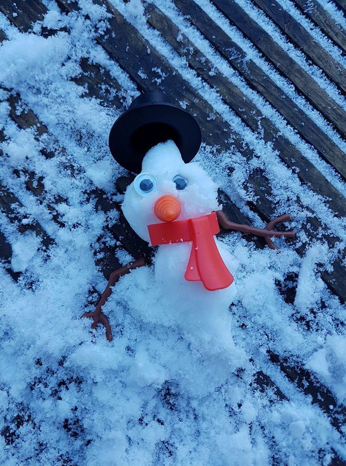
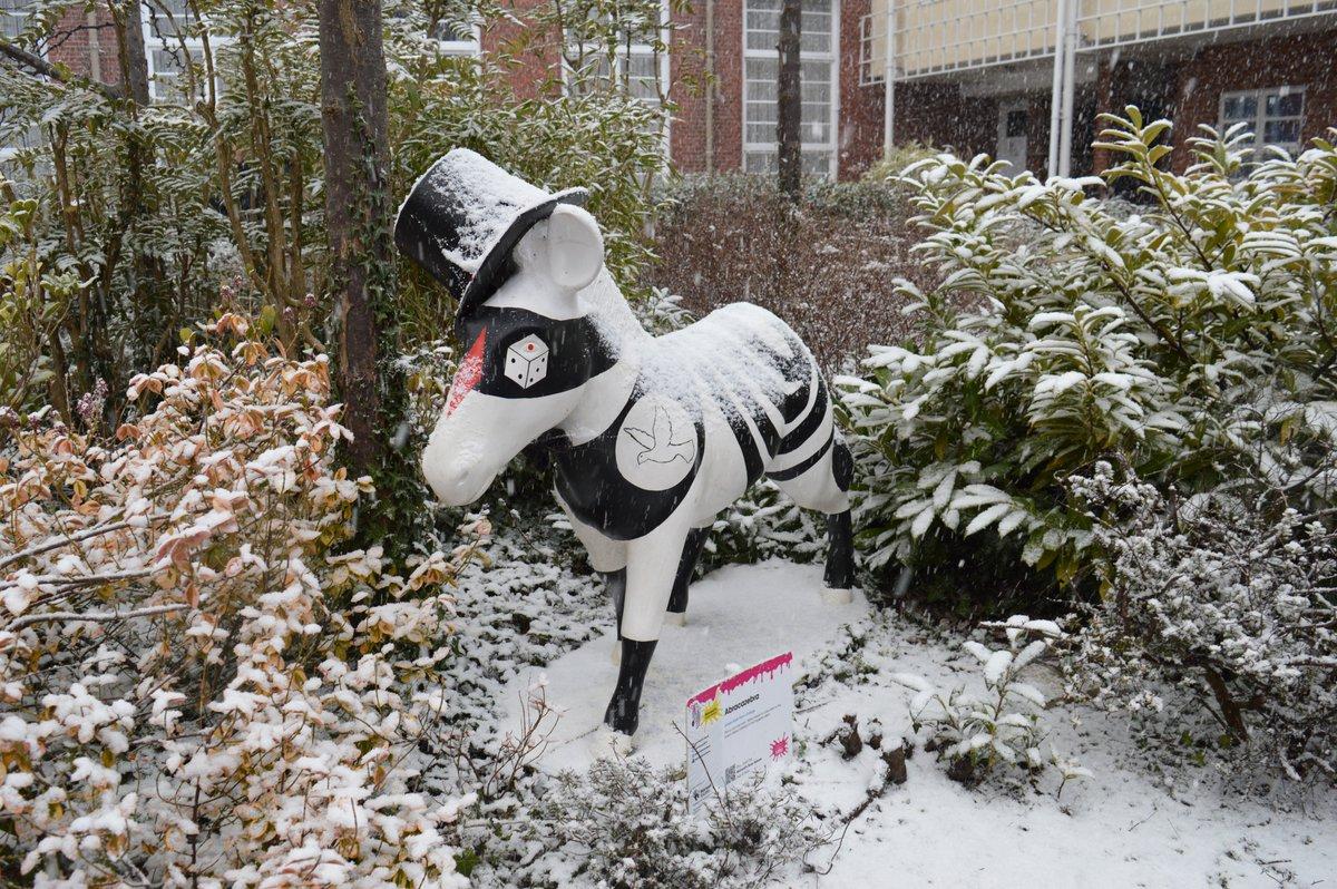
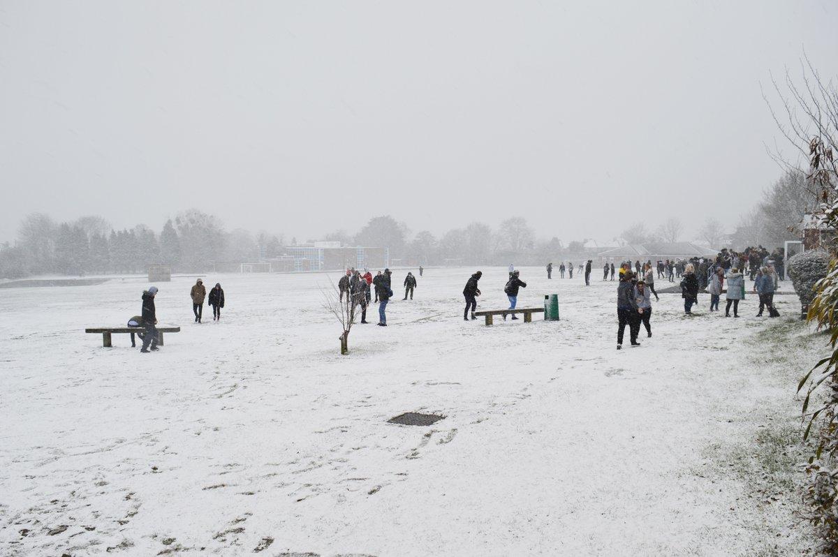
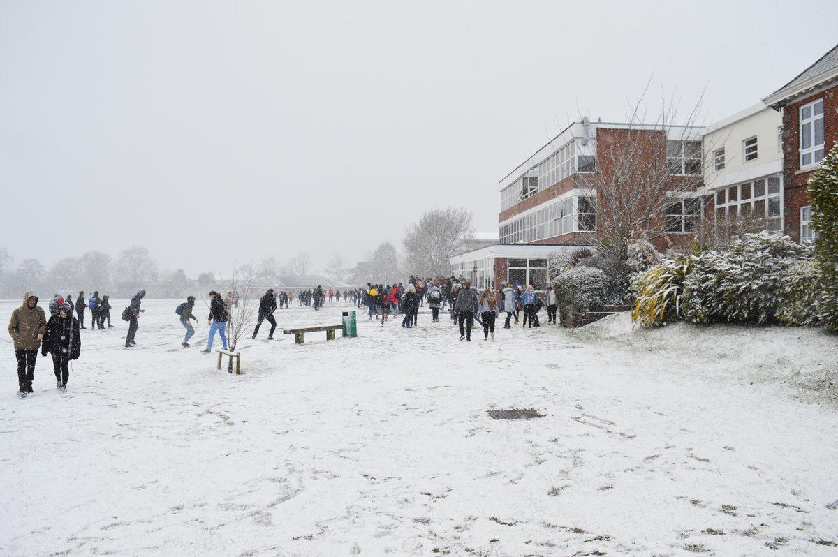
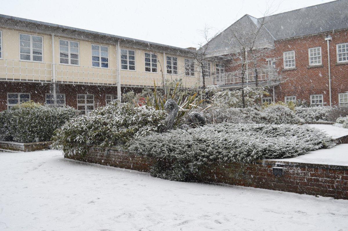
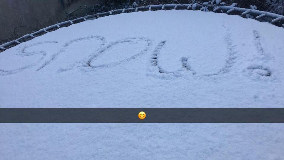
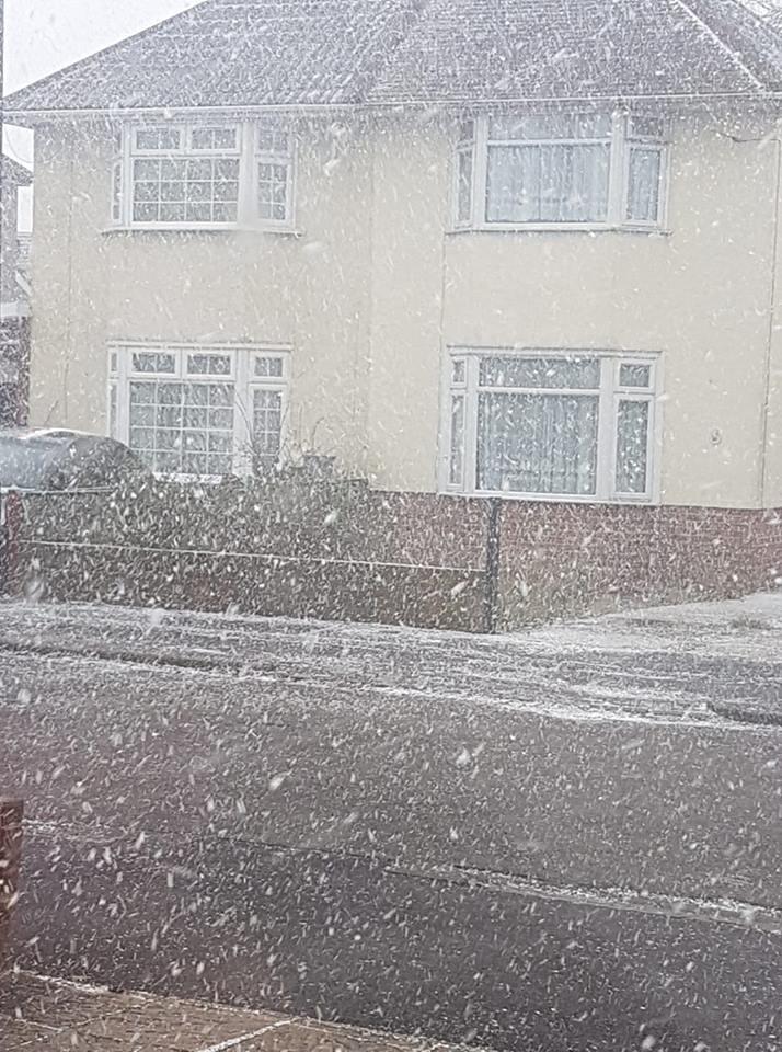
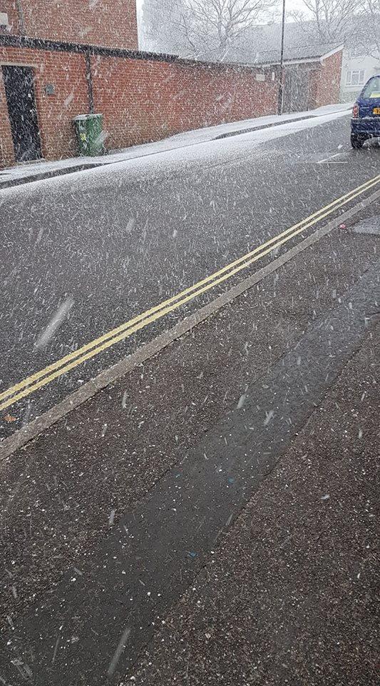
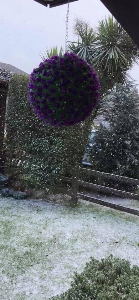
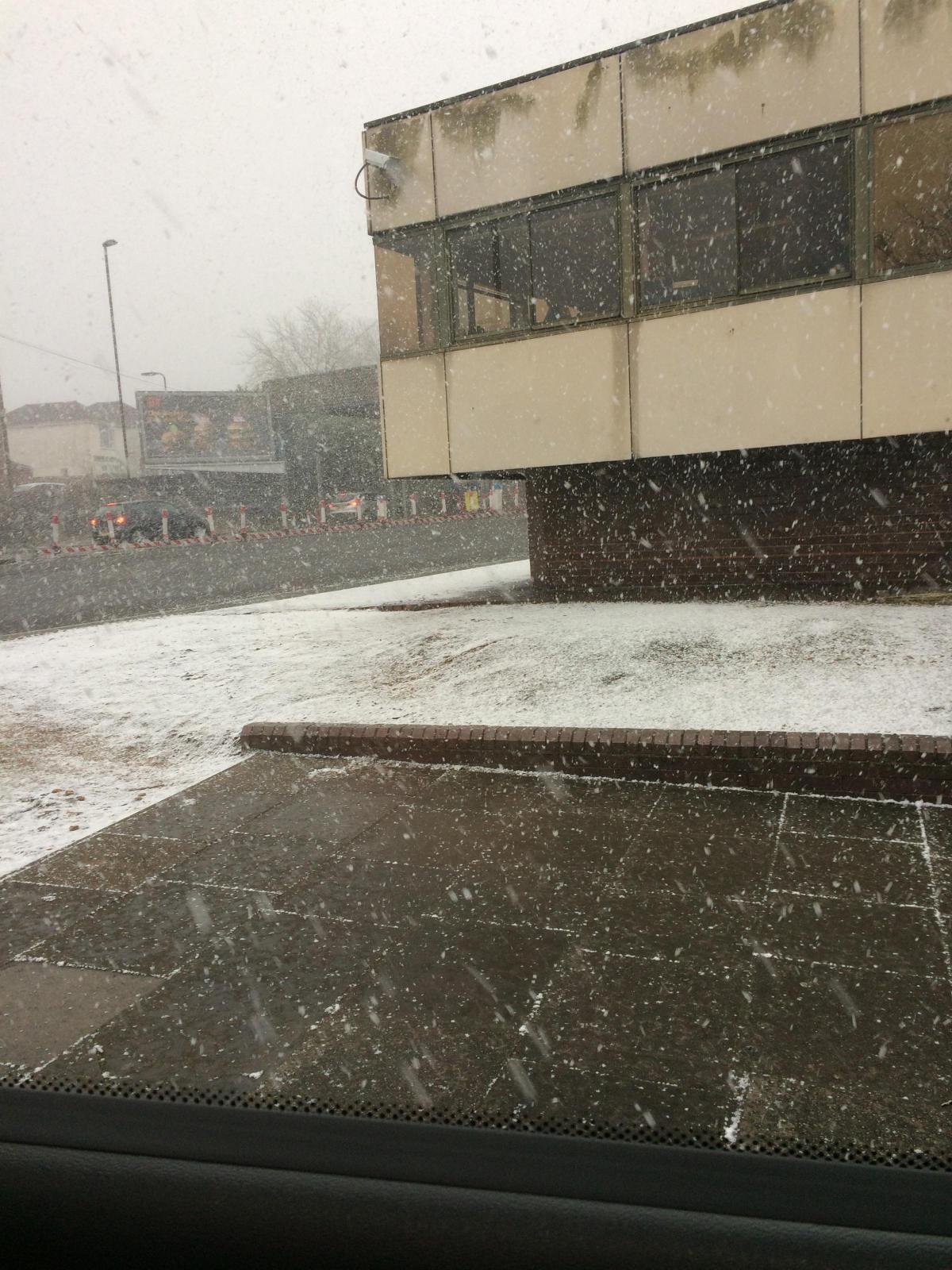
It's snowing!!! #Snowmageddon #snow #winter pic.twitter.com/yFR16IBWgW
— Carswell Gould (@carswellgould) February 27, 2018
A statement says: "There is the potential for a spell of snow, moving northwards over southern Britain on Thursday, to intensify and become heavy on Thursday afternoon/evening as it spreads north.
"As it does so, some places could also see significant ice build up overnight into Friday.
"This is likely to be accompanied by strengthening easterly winds.
"Long delays and cancellations to public transport could occur, whilst some roads may become blocked by deep snow, stranding vehicles and passengers.
"Long interruptions to power supplies and other utilities could occur."
Ian Hoult told councillors said last night: "There will potentially be 10cm of snow on Thursday.
"In 2009-10 when we didn't get as much as 10cm the impact on the roads was substantial."
Mr Hoult said the county was liaising with police, other authorities and schools to discuss how to manage the impact of the expected harsh weather.
He was speaking at the overview and scrutiny committee of Winchester City Council at the Guildhall last night.
Regional health chiefs have issued a warning as Hampshire braces itself for heavy snow and temperatures which feel as low as -9C.
It comes as Britain prepares to be blasted with cold air from Russia – dubbed "the Beast from the East".
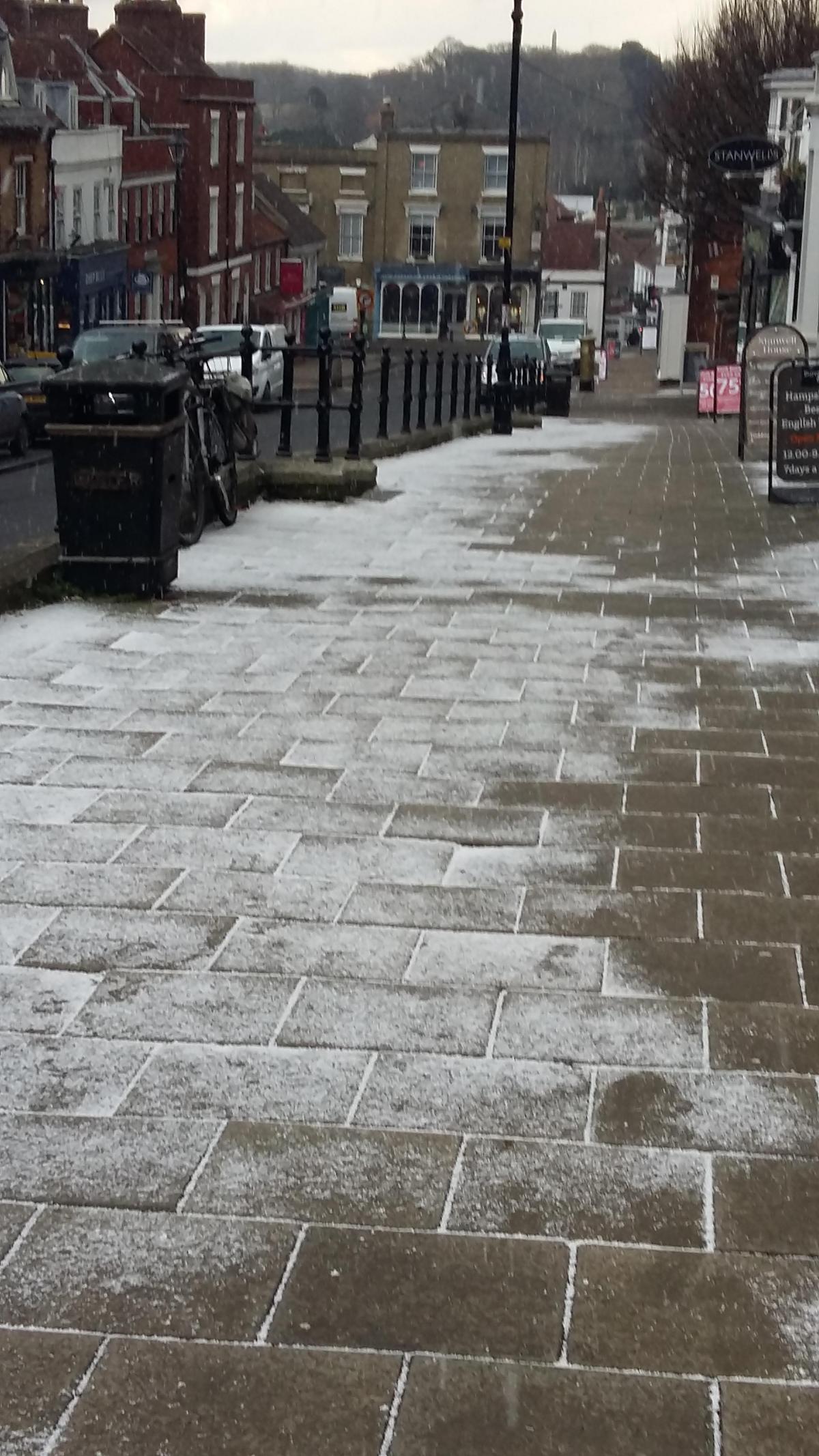
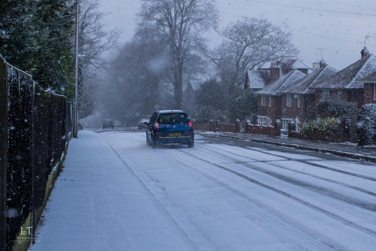
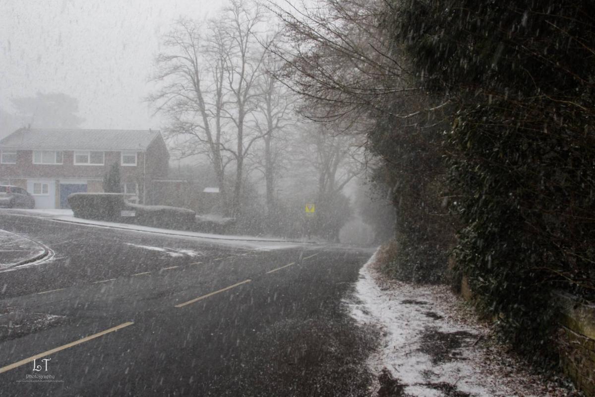
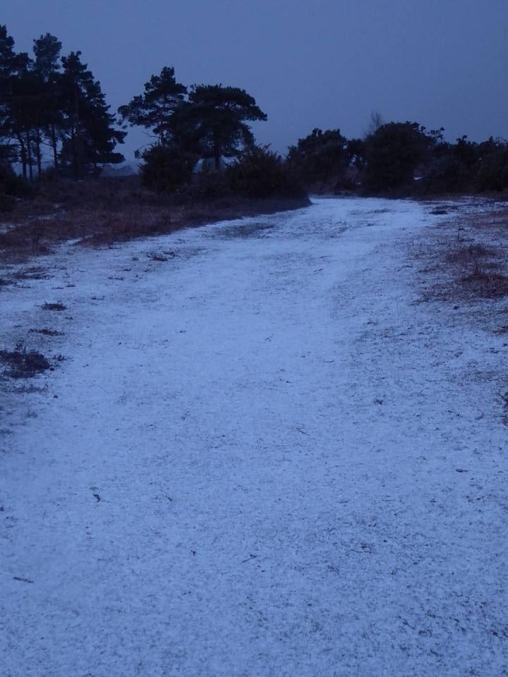
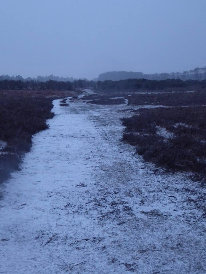
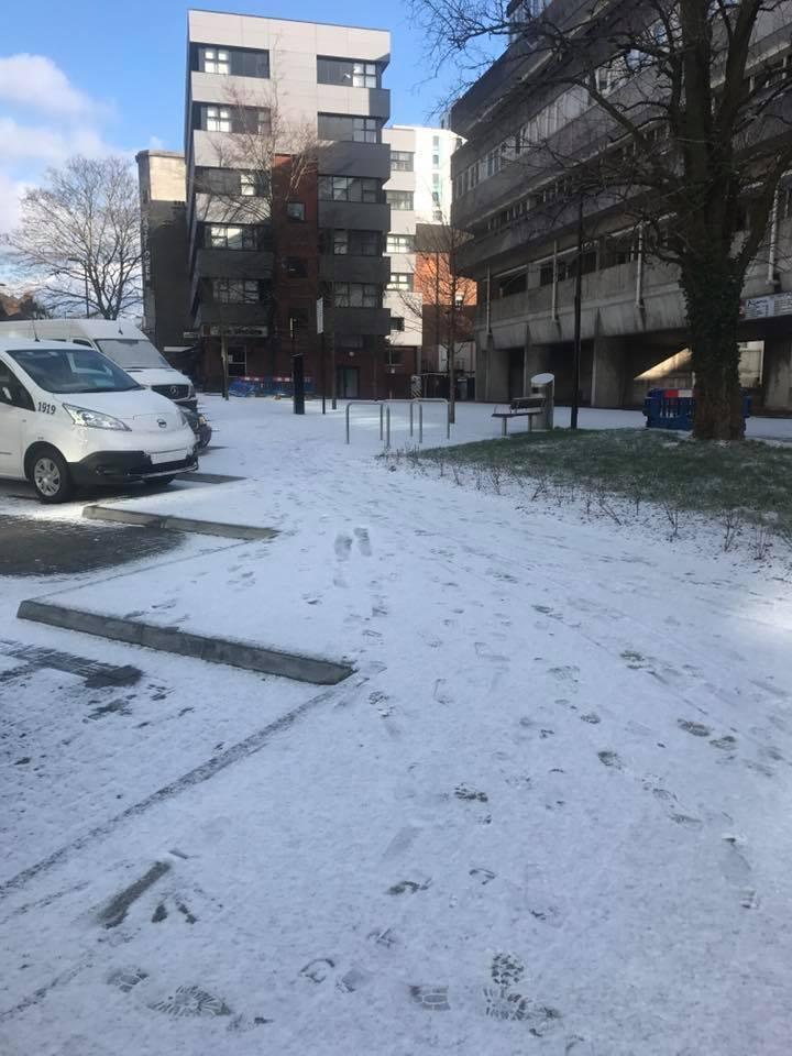
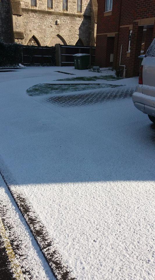
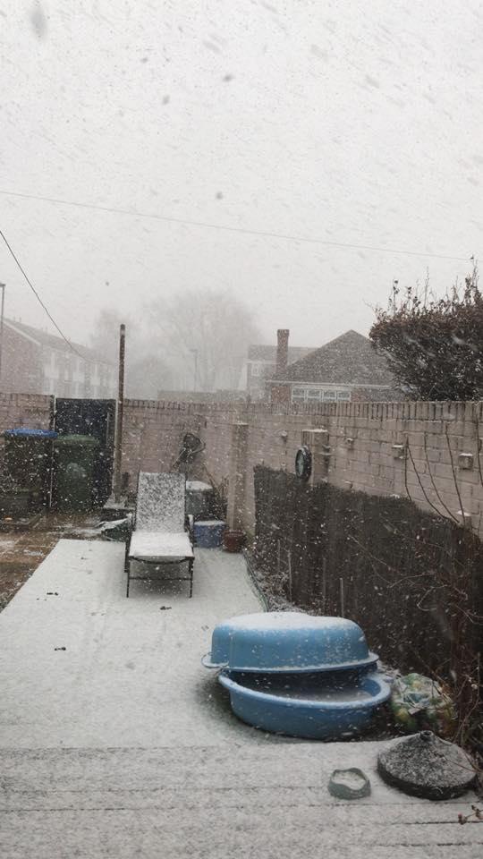
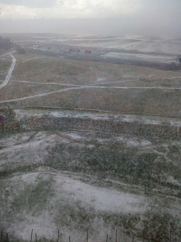
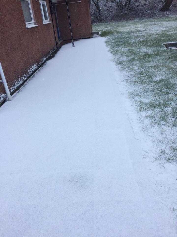
Snow fell very briefly yesterday morning and is also forecast on Thursday.
A snow weather warning is in place in Southampton from 2pm until 23.55pm on Thursday.
There is also a snow and ice warning in place from five past midnight on Friday until midday on Saturday.
Coupled with ice cold winds, experts say the temperature could feel as low as -9C at 9pm on Wednesday.
Ahead of the Russian ice blast, regional health chiefs have issued a warning, particularly for those over the age of 65.
James Mapstone, Deputy Regional Director for Public Health England’s (PHE) South region, said: “We urge people to remember to check weather forecasts and plan their day carefully around the weather.
"Take extra care if outside to prevent any accidental slips from icy or snowy pavements. Clear paths outside your house if possible.
“When indoors it is critical that people stay warm, particularly if you’re 65 or over, have long term health conditions or young children.
"Wear lots of thin layers, eat regular warm and well-balanced meals, and remember that moving about will help keep you warm."
He also warned those at risk of strokes and heart conditions to give up smoking and to keep room temperatures above 18C.
His warnings have been echoed by Dr Thomas Waite, PHE’s Extreme Events team.
He said: “Cold temperatures, indoors and out, pose real health risks to many, and every winter we know that thousands of people get ill and even die following exposure to cold conditions.
"It’s critical that if you know anyone over 65, with young children or who has heart or lung conditions, that you keep an eye on them and think what help they may need."
The cold snap is set to begin tonight, when temperatures drop below freezing.
The weather will remain cold throughout the week, with the coldest spell predicted for Wednesday morning, when temperatures drop as low as -3C.
Weather experts predict icy conditions could last until the middle of March.
Paul Gunderson, Chief Operational Meteorologist at the Met Office said: “Cold weather is currently established across the country with widespread overnight frosts.
"However colder conditions are expected to extend westwards across England during the weekend bringing a significant, and prolonged period of wintry weather.
"During Monday and Tuesday, snow showers are expected to move into eastern areas, before spreading westwards across England.
"These have the potential to align into bands, bringing some significant accumulations.
“Not everyone will see snowfall, however 5-10cm is possible where showers do line up, with the greatest risk across eastern and southeastern counties.
"These will also be accompanied by bitterly cold temperatures, and a significant wind chill.
"These cold, wintery conditions are then expected to continue Wednesday, and likely beyond.”
Top tips to prepare for colder weather:
• Look out for friends and family who may be vulnerable to the cold and ensure they have access to warm food and drinks and are managing to heat their homes adequately.
• Try to maintain indoor temperatures to at least 18C, particularly if you are not mobile, have long term illness or are 65 or over.
• Stay tuned for weather forecasts, ensure you are stocked with food and medications in advance, have deliveries or ask a friend to help.
• Take weather into account when planning your activity over the following days.
• If eligible seek entitlements and benefits such as Winter Fuel Payments and Cold Weather Payments, which are available to some.
• If you meet the criteria register for priority service with your energy and water suppliers.
• Avoid exposing yourself to cold or icy outdoor conditions if you are at a higher risk of cold related illness or falls • Discuss with friends and neighbours about clearing snow and ice from in front of your house and public walkways nearby.


Comments: Our rules
We want our comments to be a lively and valuable part of our community - a place where readers can debate and engage with the most important local issues. The ability to comment on our stories is a privilege, not a right, however, and that privilege may be withdrawn if it is abused or misused.
Please report any comments that break our rules.
Read the rules hereLast Updated:
Report this comment Cancel