
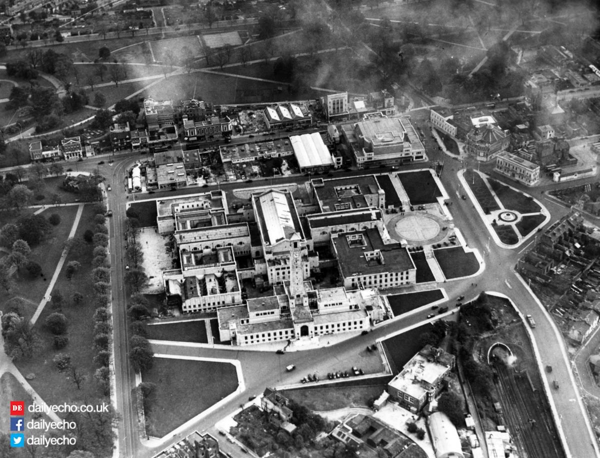
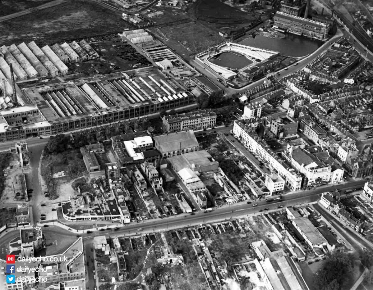
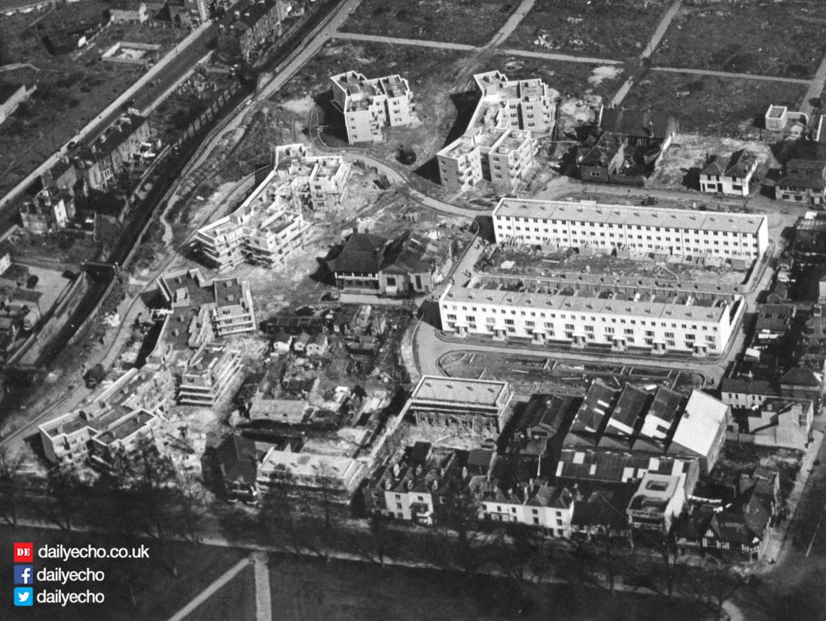
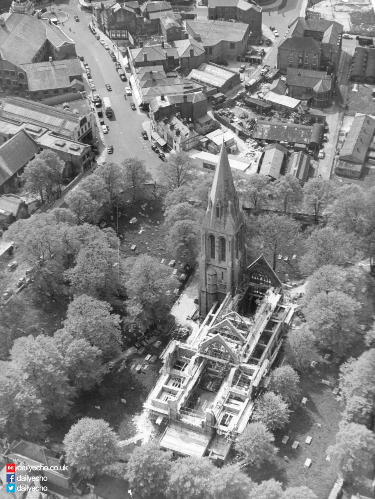
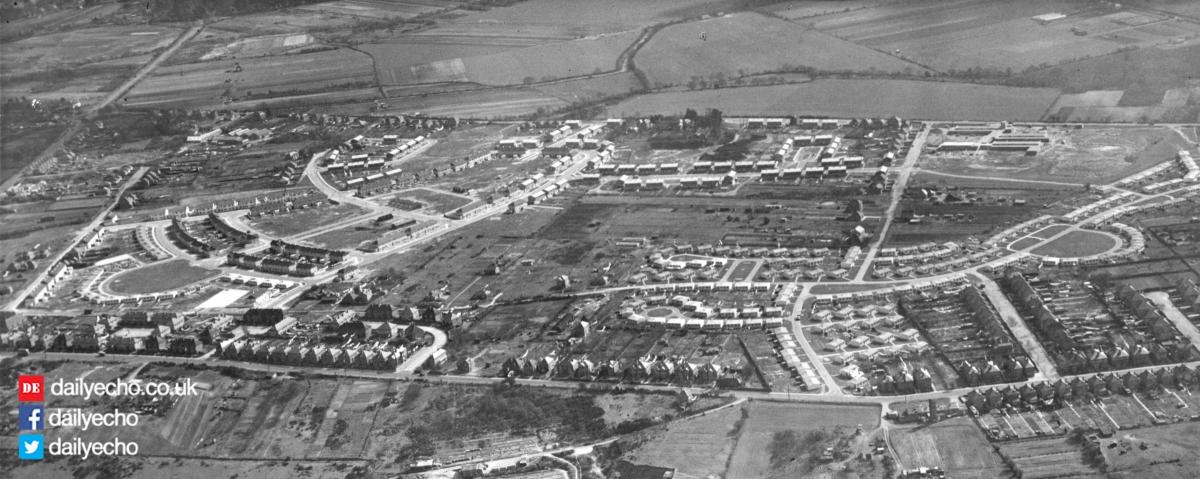
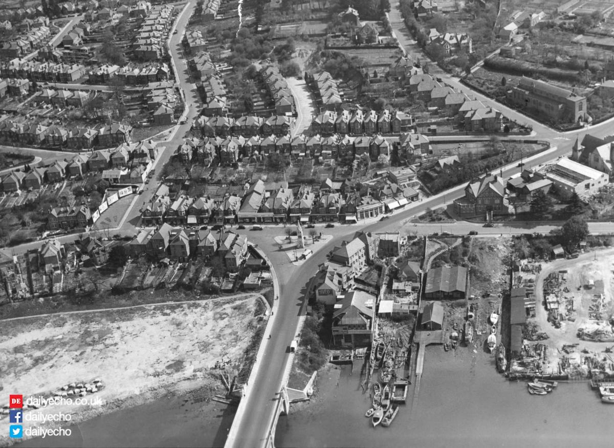
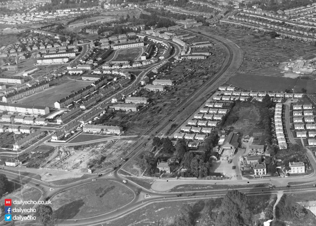
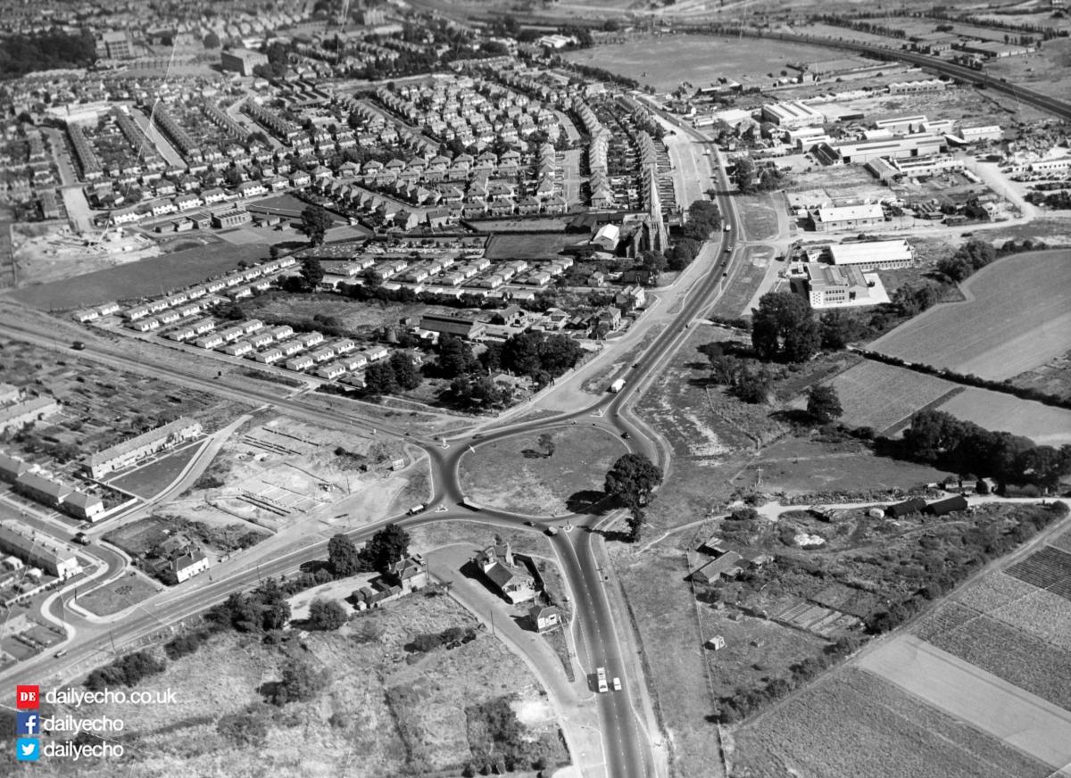
THIS aerial picture gave Echo readers in September 1950 a bird’s-eye view of a rapidly growing area that would ultimately become one of Southampton’s biggest suburbs to the west of the town.
Officially designated as the Millbrook Development in the Echo reports of the time, this municipal housing estate was anticipated to eventually have a population of many thousands.
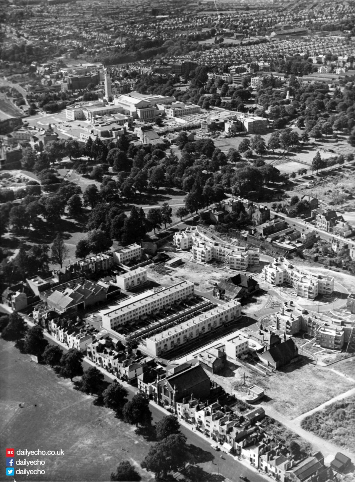
This picture, taken from the sky over Green Park and showing Wimpson Lane in the foreground, gives a good idea of the progress that was being made.

The report claimed that the rectangular spaces in the centre of the picture had been reserved as greens, and that the estate would have its own church, schools, shops and public houses.
Also visible in the picture, to the south of the area, was the new trading estate that was also being developed at the time.


Comments: Our rules
We want our comments to be a lively and valuable part of our community - a place where readers can debate and engage with the most important local issues. The ability to comment on our stories is a privilege, not a right, however, and that privilege may be withdrawn if it is abused or misused.
Please report any comments that break our rules.
Read the rules here