
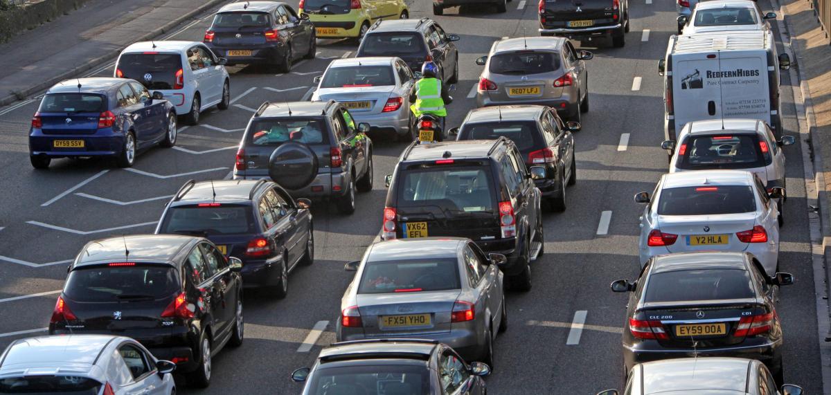

A POT of government cash will be poured into a digital city-wide initiative to improve commuter journeys.
The £90,000 grant from the Department for Transport will be invested to collect real-time traffic data.
Information will be collected through anonymised Bluetooth-enabled mobile phones from passing vehicles to provide accurate and reliable travel information, enabling Southampton City Council (SCC) to better manage the road network.
SCC is one of 19 authorities across England which successfully pitched for a share of the funding pot.
Transport boss Cllr Jacqui Rayment said: “This is a really innovative project for Southampton’s extensive road network and will help transform journeys for passengers and motorists across the city.
"This new technology will help cut congestion, speed up journeys, clean up the environment, and improve accessibility. It will deliver real-time travel information to people on the move, so we can efficiently and safely manage our local roads.
"This will also help us influence people’s travel choices, respond to incidents quickly and effectively and be flexible in how our traffic signals work. We’re looking forward to working with our partners to maximise the benefits of this project for Southampton.”
The data will provide SCC and its partners with a new source of information on traffic patterns, locations and movements.
This will provide quality and reliable real-time information back to the travelling public and local businesses through new and existing Variable Message Signs (VMS), internet, social media and into people’s satellite navigation systems.
A council spokesman said: "This data will help us to understand the implications of unplanned events on the network and help plan for them in the future.
"It will also allow us to dynamically adapt traffic signals to efficiently manage the network which will help improve road safety and air quality.
"Alongside the travel information we are working closely with locations such as the Port of Southampton and Westquay to develop bespoke targeted information for their customers about travel conditions."
The project covers the seven main transport corridors into Southampton city centre, two cross-city routes and the city centre. It will also link to Highways England’s network on the motorways and with Portsmouth.
The routes are:
• A33 Redbridge Road-Millbrook Road West-Mountbatten Way
• A3057 Shirley Road
• A33 The Avenue
• A335 Thomas Lewis Way
• A3024 Burlesdon Road / Bitterne Road West
• A334 Bitterne Road East
• A3025 Portsmouth Road
The cross city routes are:
• A35 Winchester Road-Burgess Road


Comments: Our rules
We want our comments to be a lively and valuable part of our community - a place where readers can debate and engage with the most important local issues. The ability to comment on our stories is a privilege, not a right, however, and that privilege may be withdrawn if it is abused or misused.
Please report any comments that break our rules.
Read the rules hereLast Updated:
Report this comment Cancel